- Former reference number
-
II - 40, später: 61
- Dimensions
-
Höhe: 157 cm, Breite: 225 cm, Maßstab: 1 : 3 000 000
- Context
-
Allgemeine Kartensammlung (Schulwandkarten) >> 2. Erdkunde
- Holding
-
D 73 Allgemeine Kartensammlung (Schulwandkarten)
- Date of creation
-
ca. 1950
- Other object pages
- Provenance
-
Behörden, Institutionen, Einzelpersonen (Sammlungen)
- Delivered via
- Last update
-
05.11.2025, 3:48 PM CET
Data provider
This object is provided by:
Landesarchiv Nordrhein-Westfalen. Abteilung Ostwestfalen-Lippe. If you have any questions about the object, please contact the data provider.
Landesarchiv Nordrhein-Westfalen. Abteilung Ostwestfalen-Lippe. If you have any questions about the object, please contact the data provider.
Object type
- Karten / Pläne
Time of origin
- ca. 1950
Other Objects (12)

Physikalische Karte mit Grenzen vom Vorderen Orient
Schallplatte zur Musik des Orients: Vorderindien
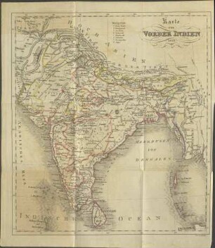
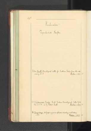
Karte von Vorderindien 1829

Geologische Karte von Vorderindien
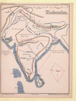
Vorderindien
![[Vorderindien]](https://iiif.deutsche-digitale-bibliothek.de/image/2/b70983b3-bc12-4a44-9c80-cf27a1882d43/full/!306,450/0/default.jpg)
[Vorderindien]
Vorderindien.

Vorderindien
Vorderindien
Vorderindien.
Karte: Der alte Orient
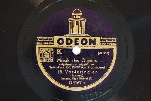
Musik des Orients : 17. Vorderindien (Meerut) Gesang, Rāga Bhairavi
Physikalische Karte mit Grenzen vom Vorderen Orient
Schallplatte zur Musik des Orients: Vorderindien
Karte von Vorderindien 1829
Geologische Karte von Vorderindien
Vorderindien
[Vorderindien]
Vorderindien.
Vorderindien
Vorderindien
Vorderindien.
Karte: Der alte Orient