- Standort
-
Leibniz-Institut für Länderkunde e.V., Leipzig
- Weitere Nummer(n)
-
HK 0313 (Signatur)
- Material/Technik
-
unkolor.
- Inschrift/Beschriftung
-
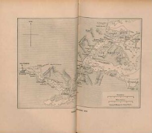
Ohne Maßstab. - Titel oben links. - Nullmeridian: Greenwich. - Mit Reiserouten. - Seitenzählung rechts unten: 47. - Nummerierung oben rechts: Pl. 44. - Kt. gehört zur franz. Ausgabe von: A voyage to the Pacific ocean. Undertaken, by the command of His Majesty, for making discoveries in the Northern hemisphere, to determine the position and extent of the west side of North America; its distance from Asia; and the practicability of a northern passage to Europe. Performed under the direction of Captains Cook, Clerke, and Gore, in His Majesty's ships the Resolution and Discovery, in the years 1776, 1777, 1778, 1779, and 1780 (1784). - Relief: plastisch
- Bezug (was)
-
Altkarte
Seekarte
Forschungsreise
Nordamerika
Alaska (Alas.)
Cook Inlet
Prinz-William-Sund
Cook, James
- Ereignis
-
Veröffentlichung
- (wo)
-
[Paris]
- (wann)
-
[1785]
- Rechteinformation
-
Leibniz-Institut für Länderkunde e.V.
- Letzte Aktualisierung
- 15.05.2025, 12:44 MESZ
Datenpartner
Dieses Objekt wird bereitgestellt von:
Leibniz-Institut für Länderkunde e. V.. Bei Fragen zum Objekt wenden Sie sich bitte an den Datenpartner.
Leibniz-Institut für Länderkunde e. V.. Bei Fragen zum Objekt wenden Sie sich bitte an den Datenpartner.
Objekttyp
- Karte
Entstanden
- [1785]
Ähnliche Objekte (12)
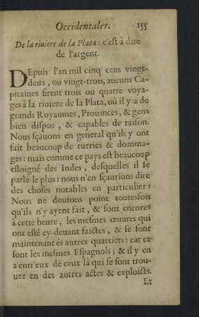
De la riviere de la Plata
Plan de la rivière
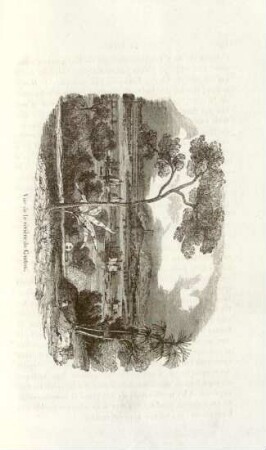
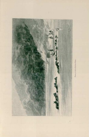
Vue de la rivière de Canton
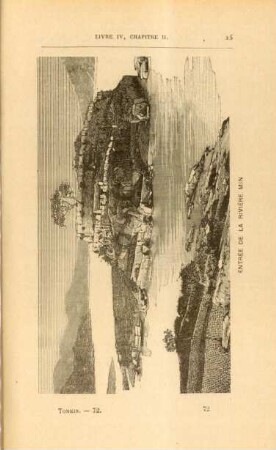
Entrée de la rivière min
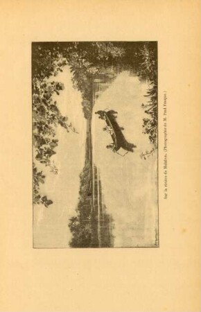
Sur la rivière de Malabou
Passage de la Rivière Noire

Dans la rivière de Lohong
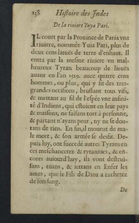
De la riviere Yuga Pari.
CXVII. La Moule de Rivière.
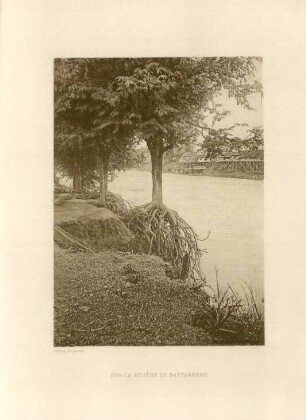
Sur la rivière de Battambang
Carte de la rivière min

v. Riedingshofen - de la Rivie're
De la riviere de la Plata
Plan de la rivière
Vue de la rivière de Canton
Entrée de la rivière min
Sur la rivière de Malabou
Passage de la Rivière Noire
Dans la rivière de Lohong
De la riviere Yuga Pari.
CXVII. La Moule de Rivière.
Sur la rivière de Battambang
Carte de la rivière min