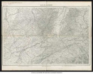
![Map of the Holy Land : [8 Blatt]](https://iiif.deutsche-digitale-bibliothek.de/image/2/5363326a-254e-44ec-b5b9-7fccfdac6b2c/full/!1149,610/0/default.jpg)
- Weitere Titel
-
Map of the environs of Jerusalem
- Standort
-
Forschungsbibliothek Gotha -- SPA lg2° 00314
- Umfang
-
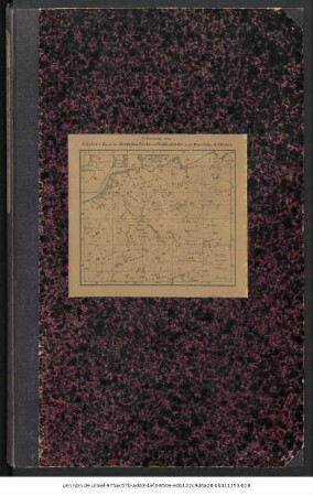
1 Kt. auf 8 Bl., 48 S., 82 x 127 cm, je Teil 41 x 31 cm
- Sprache
-
Englisch
- Anmerkungen
-
Maßstab in graph. Form (Geograph. or German Miles, Roman miles ...). - Nullmeridian: Greenwich. - Mit Bergstrichen und mehreren Höhenprofilen. - Mit 2 Nebenkt.: Map of the environs of Jerusalem. Plan of Jerusalem. - Hier Ausg. im Quer-2°-Format - Gothaer Ausg.? (es existiert noch eine weitere Ausg. im 8°-Format, welche zusätzlich den Londoner Verlag Williams & Norgate aufweist). - Mit Begleitheft als Beilage: Notes on the map of the Holy Land (48 S.) C. W. M. van de Velde's map of the Holy Land Sammlung Perthes
- Beteiligte Personen und Organisationen
- Erschienen
-
Gotha : Justus Perthes , 1865
- URN
-
urn:nbn:de:urmel-4e1a30a6-8ea3-4f85-b2c7-6ceb4f4de1672-00011316-013
- PURL
- Letzte Aktualisierung
-
14.04.2025, 12:54 MESZ
Datenpartner
Dieses Objekt wird bereitgestellt von:
Forschungsbibliothek Gotha der Universität Erfurt. Bei Fragen zum Objekt wenden Sie sich bitte an den Datenpartner.
Forschungsbibliothek Gotha der Universität Erfurt. Bei Fragen zum Objekt wenden Sie sich bitte an den Datenpartner.
Objekttyp
- Karte
Beteiligte
Entstanden
- Gotha : Justus Perthes , 1865
Ähnliche Objekte (12)
![Map of the Holy Land : [8 Blatt]](https://iiif.deutsche-digitale-bibliothek.de/image/2/bcda19a9-58a9-46a6-931c-2c4da04eb465/full/!306,450/0/default.jpg)
Map of the Holy Land : [8 Blatt]
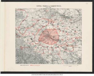
Gotha - Paris und Umgebungen : zum besten der Verwundeten
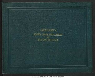
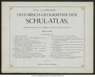
K. von Spruner's Historisch-Geographischer Schul-Atlas von Deutschland : zwölf colorirte Karten in Kupferstich
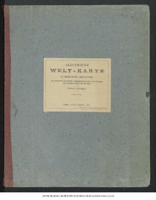
Allgemeine Welt-Karte in Mercator's Projection zur Uebersicht der grossen Verkehrs-Linien über Land und Meer und neuerer Reisen um die Erde
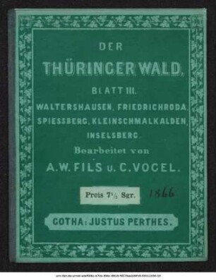
Der Thüringer Wald : Waltershausen, Friedrichroda, Spiessberg, Kleinschmalkaden, Inselsberg : Blatt III
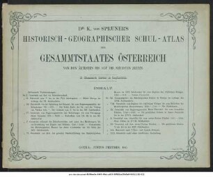
K. von Spruner's Historisch-geographischer Schul-Atlas des Gesammtstaates Österreich von den ältesten bis auf die neuesten Zeiten : 13 illuminirte Karten in Kupferstich
Atlas der Alpenländer
K. von Spruners Historisch-Geographischer Schul-Atlas : dreiundzwanzig kolorierte Karten in Kupferstich
Allgemeine Welt-Karte in Mercator's Projection, nach dem Stande der nautischen Aufnahmen im Jahre 1858
Bibelatlas In Acht Blättern
Justus Perthes' Specialkarte der deutsch-französischen Grenzländer von Mainz bis Bern (Aus Stielers 25-Blatt-Karte)
Karte Des Deutschen Reichs Und Der Nachbarländer In XXV Blättern
Map of the Holy Land : [8 Blatt]
Gotha - Paris und Umgebungen : zum besten der Verwundeten
K. von Spruner's Historisch-Geographischer Schul-Atlas von Deutschland : zwölf colorirte Karten in Kupferstich
Allgemeine Welt-Karte in Mercator's Projection zur Uebersicht der grossen Verkehrs-Linien über Land und Meer und neuerer Reisen um die Erde
Der Thüringer Wald : Waltershausen, Friedrichroda, Spiessberg, Kleinschmalkaden, Inselsberg : Blatt III
K. von Spruner's Historisch-geographischer Schul-Atlas des Gesammtstaates Österreich von den ältesten bis auf die neuesten Zeiten : 13 illuminirte Karten in Kupferstich
Atlas der Alpenländer
K. von Spruners Historisch-Geographischer Schul-Atlas : dreiundzwanzig kolorierte Karten in Kupferstich
Allgemeine Welt-Karte in Mercator's Projection, nach dem Stande der nautischen Aufnahmen im Jahre 1858
Bibelatlas In Acht Blättern
Justus Perthes' Specialkarte der deutsch-französischen Grenzländer von Mainz bis Bern (Aus Stielers 25-Blatt-Karte)