- Alternativer Titel
-
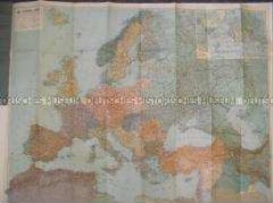
Eduard Gaeblers Verkehrskarte von Europa
- Standort
-
Deutsches Historisches Museum, Berlin
- Inventarnummer
-
Do 70/238II
- Maße
-
Höhe x Breite: 26 x 18 cm (gefaltet)
- Material/Technik
-
Papier, gedruckt
- Klassifikation
-
Karten, Pläne, Risse (Gattung)
- Bezug (was)
-
Verkehr
- Ereignis
-
Herstellung
- (wer)
-
Herausgeber: Ed. Gaeblers Geograph. Institut GmbH
- (wo)
-
Leipzig, Deutschland [historisch: Deutsches Reich]
- (wann)
-
1942
- Rechteinformation
-
Deutsches Historisches Museum
- Letzte Aktualisierung
-
24.03.2023, 09:31 MEZ
Datenpartner
Dieses Objekt wird bereitgestellt von:
Stiftung Deutsches Historisches Museum. Bei Fragen zum Objekt wenden Sie sich bitte an den Datenpartner.
Stiftung Deutsches Historisches Museum. Bei Fragen zum Objekt wenden Sie sich bitte an den Datenpartner.
Objekttyp
- Verkehrskarte
Beteiligte
- Herausgeber: Ed. Gaeblers Geograph. Institut GmbH
Entstanden
- 1942
Ähnliche Objekte (12)

Verkehrskarte von Europa
Verkehrskarte des Deutschen Automobilclubs von Europa

Zweiseitige Verkehrskarte (Eisenbahn) von "Großdeutschland" und Europa
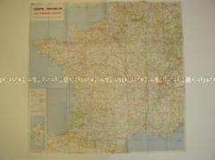
Französische Verkehrskarte
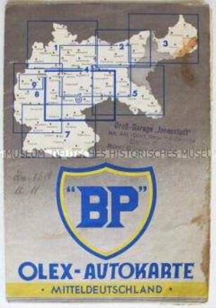
Verkehrskarte von Mitteldeutschland

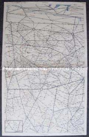
Verkehrskarte von Pommern

Verkehrskarte von Pommern
Verkehrskarte von Nordwestdeutschland
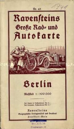
Verkehrskarte von Berlin
Verkehrskarte von Thüringen
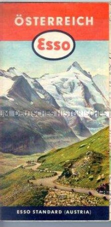
Verkehrskarte von Österreich
Verkehrskarte von Mitteldeutschland
Verkehrskarte von Europa
Verkehrskarte des Deutschen Automobilclubs von Europa
Zweiseitige Verkehrskarte (Eisenbahn) von "Großdeutschland" und Europa
Französische Verkehrskarte
Verkehrskarte von Mitteldeutschland
Verkehrskarte von Pommern
Verkehrskarte von Pommern
Verkehrskarte von Nordwestdeutschland
Verkehrskarte von Berlin
Verkehrskarte von Thüringen
Verkehrskarte von Österreich