Karte / Plan
Hohe Mark Naturpark 2. östlicher Teil nach 1967 1 : 50 000 135 x 93 Einzeichnung in topographische Karten
- Reference number
-
W 051, 20184
- Further information
-
Ort: Hohe Mark
- Context
-
Karten A (Allgemein) >> 2. Land- und Forstwirtschaft >> 2.10. Naturschutz
- Holding
-
W 051 Karten A (Allgemein)
- Indexbegriff subject
-
Naturpark, Hohe Mark, 1967
- Indexentry place
-
Hohe Mark
Hohe Mark, Naturpark, 1967
- Date of creation
-
1967
- Other object pages
- Provenance
-
Sammlungsregistraturbildner
- Delivered via
- Last update
-
05.11.2025, 4:24 PM CET
Data provider
This object is provided by:
Landesarchiv Nordrhein-Westfalen. Abteilung Westfalen. If you have any questions about the object, please contact the data provider.
Landesarchiv Nordrhein-Westfalen. Abteilung Westfalen. If you have any questions about the object, please contact the data provider.
Object type
- Karten / Pläne
Time of origin
- 1967
Other Objects (12)

Hohe Mark Naturpark 1. westlicher Teil nach 1967 1 : 50 000 135 x 93 Einzeichnung in topographische Karten

Naturschutz im Naturpark Bergisches Land - Wettbewerb '93
Naturpark
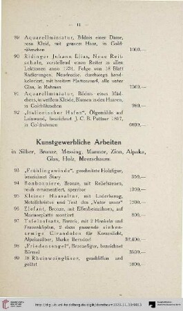
Kunstgewerbliche Arbeiten (Nr. 93-135)
Wir sind Naturpark : 25 Jahre Naturpark Südschwarzwald
Fichtelgebirge : mit Naturpark Frankenwald und Naturpark Steinwald
Naturpark Nassau : ein Naturpark stellt sich vor
Fichtelgebirge : mit Naturpark Frankenwald und Naturpark Steinwald
Naturpark Schönbuch
Naturpark Schönbuch
Naturpark Spessart
Thayatal-Naturpark
Hohe Mark Naturpark 1. westlicher Teil nach 1967 1 : 50 000 135 x 93 Einzeichnung in topographische Karten
Naturschutz im Naturpark Bergisches Land - Wettbewerb '93
Naturpark
Kunstgewerbliche Arbeiten (Nr. 93-135)
Wir sind Naturpark : 25 Jahre Naturpark Südschwarzwald
Fichtelgebirge : mit Naturpark Frankenwald und Naturpark Steinwald
Naturpark Nassau : ein Naturpark stellt sich vor
Fichtelgebirge : mit Naturpark Frankenwald und Naturpark Steinwald
Naturpark Schönbuch
Naturpark Schönbuch
Naturpark Spessart