Karte / Plan
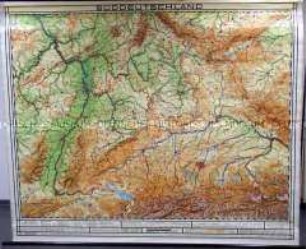
Industriegebiet, östliches Schulwandkarte um 1920 105 x 125 1 : 30000 farbiger Druck Verlag Willy Grösschen, Dortmund
- Reference number
-
W 051, 37125
- Further information
-
Ort: Indistriegebiet
- Context
-
Karten A (Allgemein) >> 1. Topographische Karte, Übersichtskarten >> 1.2. Übersichtskarten >> 1.2.2. einzelne Orte
- Holding
-
W 051 Karten A (Allgemein)
- Indexbegriff subject
-
Schulwandkarte, Industriegebiet, östliches, 1920
- Indexentry place
-
Indistriegebiet
Industriegebiet, östliches, Schulwandkarte, 1920
- Date of creation
-
1920
- Other object pages
- Provenance
-
Sammlungsregistraturbildner
- Delivered via
- Last update
-
17.09.2025, 3:02 PM CEST
Data provider
This object is provided by:
Landesarchiv Nordrhein-Westfalen. Abteilung Westfalen. If you have any questions about the object, please contact the data provider.
Landesarchiv Nordrhein-Westfalen. Abteilung Westfalen. If you have any questions about the object, please contact the data provider.
Object type
- Karten / Pläne
Time of origin
- 1920
Other Objects (12)

Schulwandkarte von Nordamerika
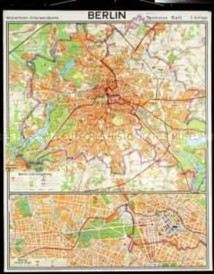
Schulwandkarte von Berlin
Schulwandkarte von Afrika

Schulwandkarte von Palästina
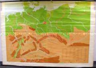
Schulwandkarte von Deutschland
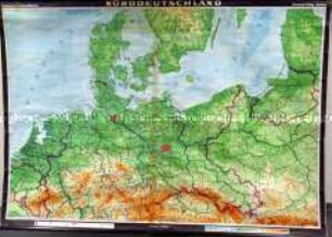
Schulwandkarte von Norddeutschland
Schulatlas oder Schulwandkarte
Schulwandkarte von Süddeutschland
Schulwandkarte von Afrika

Schulwandkarte der Rheinprovinz

Schulwandkarte der Rheinprovinz
Schulwandkarte von Nordamerika
Schulwandkarte von Nordamerika
Schulwandkarte von Berlin
Schulwandkarte von Afrika
Schulwandkarte von Palästina
Schulwandkarte von Deutschland
Schulwandkarte von Norddeutschland
Schulatlas oder Schulwandkarte
Schulwandkarte von Süddeutschland
Schulwandkarte von Afrika
Schulwandkarte der Rheinprovinz
Schulwandkarte der Rheinprovinz
Schulwandkarte von Nordamerika
Schulwandkarte von Nordamerika
Schulwandkarte von Berlin
Schulwandkarte von Afrika
Schulwandkarte von Palästina
Schulwandkarte von Deutschland
Schulwandkarte von Norddeutschland
Schulatlas oder Schulwandkarte
Schulwandkarte von Süddeutschland
Schulwandkarte von Afrika
Schulwandkarte der Rheinprovinz
Schulwandkarte der Rheinprovinz