
- Standort
-
IAI Berlin
- Umfang
-
1 Kt, [Ca. 1:2.800.000]
- Material
-
Karte
- Sprache
-
Englisch
- Anmerkungen
-
Maßstab in graph. Form (Miles)
Titel oben Mitte. - Mit Bergstrichen. - Mit 4 Ansichten: Georgetown. Christmas Cataract, River Berbice. New Amsterdam. Ataraipu Or The Devil's Rock
Aus: Martin, R. Montgomery: The Illustrated Atlas, And Modern History Of The World Geographical, Political, Commercial & Statistical, London & New York, John Tallis, 1851
- Reihe
-
Altkarten-Projekt des IAI
- Beteiligte Personen und Organisationen
-
Rapkin, John
Winkles, Henry
Tallis, John
Martin, Robert Montgomery
- Erschienen
-
London & New York : John Tallis & Company , 1851
Berlin : Ibero-Amerikanisches Institut
- PURL
- Letzte Aktualisierung
-
09.05.2025, 15:04 MESZ
Datenpartner
Dieses Objekt wird bereitgestellt von:
Ibero-Amerikanisches Institut - Stiftung Preußischer Kulturbesitz. Bei Fragen zum Objekt wenden Sie sich bitte an den Datenpartner.
Ibero-Amerikanisches Institut - Stiftung Preußischer Kulturbesitz. Bei Fragen zum Objekt wenden Sie sich bitte an den Datenpartner.
Objekttyp
- Karte
Beteiligte
- Rapkin, John
- Winkles, Henry
- Tallis, John
- Martin, Robert Montgomery
Entstanden
- London & New York : John Tallis & Company , 1851
- Berlin : Ibero-Amerikanisches Institut
Ähnliche Objekte (12)
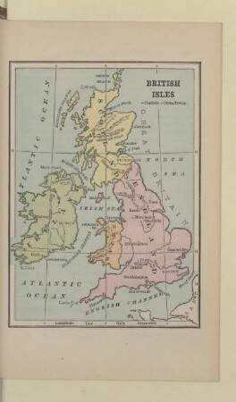
BRITISH ISLES
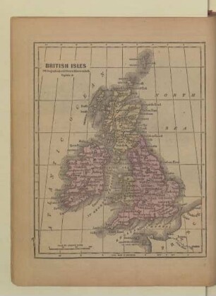
BRITISH ISLES
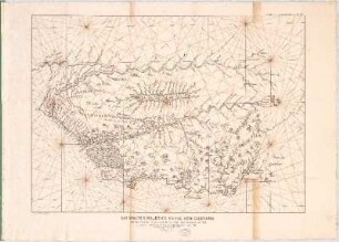
Sir Walter Ralegh's Karte von Guayana : mit dem Lauf des Orinoco und des Marañon oder Amazonas um 1595
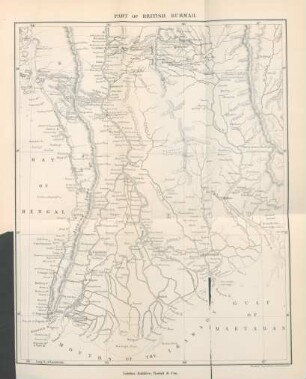
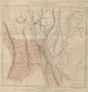
Part of British Burmah
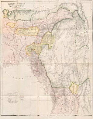
Eastern frontier of British India

Revenue map of British India
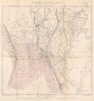
The central part of British Burmah
The central part of British Burma
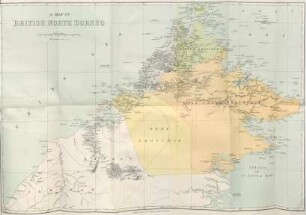
A map of British North Borneo
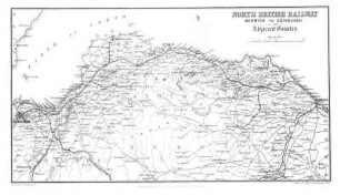
NORTH BRITISH RAILWAY. BERWICK TO EDINBURGH:
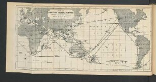
Map of British Trade Routes across the Pacific and Indian Oceans, with the Coaling Stations, British and Foreign.
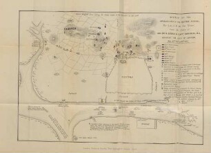
Sketch of the operations of the British Forces
BRITISH ISLES
BRITISH ISLES
Sir Walter Ralegh's Karte von Guayana : mit dem Lauf des Orinoco und des Marañon oder Amazonas um 1595
Part of British Burmah
Eastern frontier of British India
Revenue map of British India
The central part of British Burmah
The central part of British Burma
A map of British North Borneo
NORTH BRITISH RAILWAY. BERWICK TO EDINBURGH:
Map of British Trade Routes across the Pacific and Indian Oceans, with the Coaling Stations, British and Foreign.