Archivale
[Situationsplan vom Mühlendamm und der umliegenden Gegend]
Enthält: Gebiet vom Mühlendamm bis Am Krögel und An der Fischerbrücke.
Foto
Datierungsanhalt: Vgl. mit A 845, Straße Am Mühlengang noch nicht angelegt
- Reference number
-
F Rep. 270 Nr. 846
- Former reference number
-
Registratursignatur: F Rep. 270 Nr. A III b 035a
- Extent
-
ca. 1 : 2 300
- Further information
-
Format: 16 x 11 cm
- Context
-
F Rep. 270 Allgemeine Kartensammlung >> 08. Brücken (Mühlendamm/Mitte)
- Holding
-
F Rep. 270 Allgemeine Kartensammlung
- Date of creation
-
[vor 1851]
- Other object pages
- Rights
-
Für nähere Informationen zu Nutzungs- und Verwertungsrechten kontaktieren Sie bitte info@landesarchiv.berlin.de.
- Last update
-
22.08.2025, 12:09 PM CEST
Data provider
This object is provided by:
Landesarchiv Berlin. If you have any questions about the object, please contact the data provider.
Landesarchiv Berlin. If you have any questions about the object, please contact the data provider.
Object type
- Archivale
Time of origin
- [vor 1851]
Other Objects (12)
![Situations-Plan vom Mühlen-Damm u[nd] der umliegenden Gegend.](/assets/placeholder/searchResultMediaNoDigitisedMedia.png)
Situations-Plan vom Mühlen-Damm u[nd] der umliegenden Gegend.
Situations-Plan der Stadt Bruchsal und der umliegenden Gegend
Situationsplan des königlichen Gradierwerks Elmen nebst der umliegenden Gegend

Breslau nebst seiner umliegenden Gegend
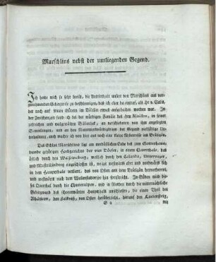
Marschlins nebst der umliegenden Gegend.
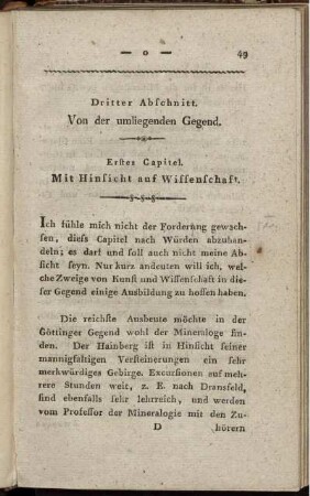
Dritter Abschnitt. Von der umliegenden Gegend
Festung Thorn mit der umliegenden Gegend
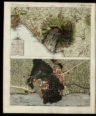
Der Vesuv mit seiner umliegenden Gegend.

Lodi, Cremona, und die umliegenden Gegenden

Grundrisss von Kalisch und der umliegenden Gegend

Plan von Ansbach und der umliegenden Gegend
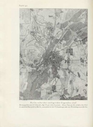
Karte: Berlin nebst den umliegenden Gegenden 1798
Situations-Plan vom Mühlen-Damm u[nd] der umliegenden Gegend.
Situations-Plan der Stadt Bruchsal und der umliegenden Gegend
Situationsplan des königlichen Gradierwerks Elmen nebst der umliegenden Gegend
Breslau nebst seiner umliegenden Gegend
Marschlins nebst der umliegenden Gegend.
Dritter Abschnitt. Von der umliegenden Gegend
Festung Thorn mit der umliegenden Gegend
Der Vesuv mit seiner umliegenden Gegend.
Lodi, Cremona, und die umliegenden Gegenden
Grundrisss von Kalisch und der umliegenden Gegend
Plan von Ansbach und der umliegenden Gegend