- Alternative title
-
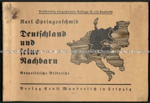
Deutschland kämpft für Europa. Geopolitische Bildreihe. Erstes bis sechstes Tausend
- Location
-
Deutsches Historisches Museum, Berlin
- Inventory number
-
G 3706
- Measurements
-
17 x 24,5 cm Höhe x Breite, 0,7 cm Tiefe, <4> Quart<>quer Buchformat
- Material/Technique
-
Buchblock: Papier; Einband: Pappe, Broschur, Klammerheftung
- Classification
-
Druckschriften (Gattung)
- Subject (what)
-
Deutschland
Geopolitik
Atlas
- Event
-
Herstellung
- (who)
-
Springenschmid, Karl (Verfasser)
Verlag Ernst Wunderlich, Leipzig
- (where)
-
Leipzig, Deutschland [historisch: Deutsches Reich]
- (when)
-
1937
- Last update
-
14.03.2023, 1:00 PM CET
Data provider
This object is provided by:
Stiftung Deutsches Historisches Museum. If you have any questions about the object, please contact the data provider.
Stiftung Deutsches Historisches Museum. If you have any questions about the object, please contact the data provider.
Object type
- Druckschrift
Associated
- Springenschmid, Karl (Verfasser)
- Verlag Ernst Wunderlich, Leipzig
Time of origin
- 1937
Other Objects (12)
Atlas von Europa

Atlas von Europa
Geopolitischer Atlas von Europa

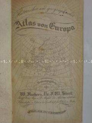
Atlas von 1848
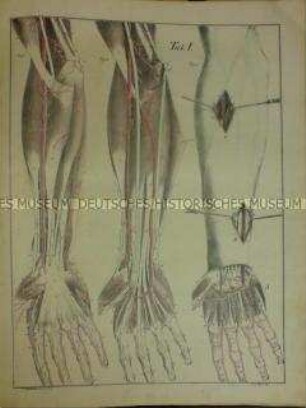
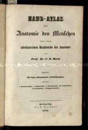
Anatomischer Atlas

Atlas compendiarius
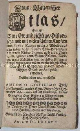
Chur-Bayerischer Atlas
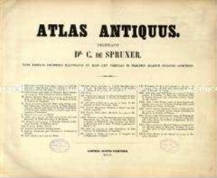
Atlas der antiken Welt

Anatomischer Atlas, Bd. 2
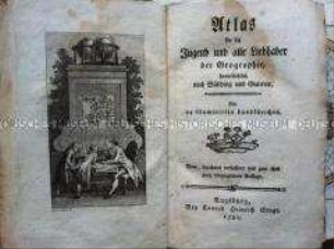
Atlas für die Jugend

Anatomischer Atlas, Bd. 1
Anatomischer Atlas von Carl Ernst Bock
Atlas von Europa
Atlas von Europa
Geopolitischer Atlas von Europa
Atlas von 1848
Anatomischer Atlas
Atlas compendiarius
Chur-Bayerischer Atlas
Atlas der antiken Welt
Anatomischer Atlas, Bd. 2
Atlas für die Jugend
Anatomischer Atlas, Bd. 1
Anatomischer Atlas von Carl Ernst Bock
Atlas von Europa
Atlas von Europa
Geopolitischer Atlas von Europa
Atlas von 1848
Anatomischer Atlas
Atlas compendiarius
Chur-Bayerischer Atlas
Atlas der antiken Welt
Anatomischer Atlas, Bd. 2
Atlas für die Jugend
Anatomischer Atlas, Bd. 1