
- Sprache
-
Englisch
- Erschienen in
-
Gazetteer of the Bombay Presidency ; [Vol. 26,1]
- Erschienen
-
1894
- Letzte Aktualisierung
-
22.04.2025, 14:12 MESZ
Datenpartner
Dieses Objekt wird bereitgestellt von:
Staatsbibliothek zu Berlin - Preußischer Kulturbesitz. Bei Fragen zum Objekt wenden Sie sich bitte an den Datenpartner.
Staatsbibliothek zu Berlin - Preußischer Kulturbesitz. Bei Fragen zum Objekt wenden Sie sich bitte an den Datenpartner.
Objekttyp
- Karte
Entstanden
- 1894
Ähnliche Objekte (12)
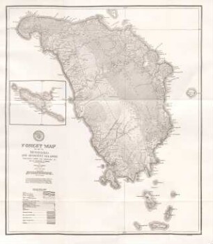
Forest Map of Mindoro and Adjacent Islands
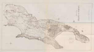
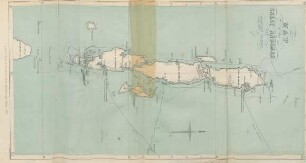
Map of the Island of Bombay
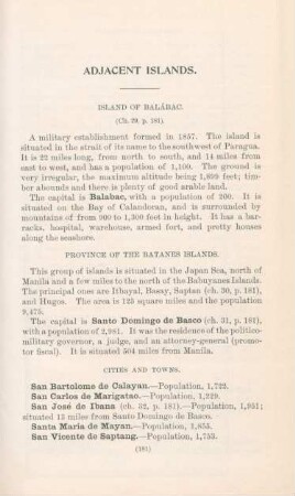
Adjacent Islands
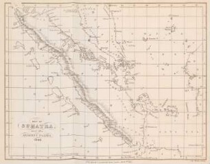
Map of Sumatra and the adjacent islands. 1840
Map of the Great Andaman and the Adjacent Islands
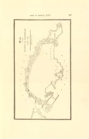
Map of the port of Bombay
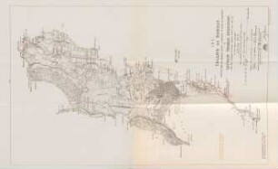
The Island of Bombay
Bombay town and island
Bombay town and island
Máldive Islands (Map)
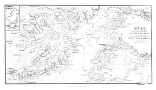
ISLAND OF MULL AND ADJACENT COASTS.
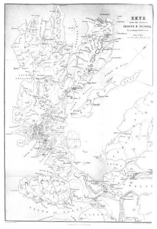
Island of Skye and Adjacent Coast.
Forest Map of Mindoro and Adjacent Islands
Map of the Island of Bombay
Adjacent Islands
Map of Sumatra and the adjacent islands. 1840
Map of the Great Andaman and the Adjacent Islands
Map of the port of Bombay
The Island of Bombay
Bombay town and island
Bombay town and island
Máldive Islands (Map)
ISLAND OF MULL AND ADJACENT COASTS.