- Alternative title
-
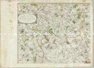
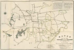
A New / TRAVELLING MAP / of the / COUNTRY ROUND LONDON,
- Location
-
Deutsches Historisches Museum, Berlin
- Inventory number
-
Do 2006/275.1-4
- Measurements
-
Höhe x Breite: 57,5 x 77 cm (Blatt 1)
Höhe x Breite: 48,6 x 60,6 cm (Karte 1)
Höhe x Breite: 52 x 63,5 cm (Platte 1)
- Material/Technique
-
Druckfarbe, Papier, Kupferstich, grenzkoloriert
- Classification
-
Kartografie (Gattung)
- Subject (what)
-
London
England
Großbritannien
- Event
-
Herstellung
- (who)
-
Geograph, Stecher, Landvermesser, Verleger: John Andrews
Verleger, Stecher, Landvermesser, Drucker: Andrew Dury
- (where)
-
London, Großbritannien und Nordirland
- (when)
-
1776
- Rights
-
Deutsches Historisches Museum
- Last update
-
24.03.2023, 9:29 AM CET
Data provider
This object is provided by:
Stiftung Deutsches Historisches Museum. If you have any questions about the object, please contact the data provider.
Stiftung Deutsches Historisches Museum. If you have any questions about the object, please contact the data provider.
Object type
- Straßenkarte
Associated
- Geograph, Stecher, Landvermesser, Verleger: John Andrews
- Verleger, Stecher, Landvermesser, Drucker: Andrew Dury
Time of origin
- 1776
Other Objects (12)
The Country twenty-five miles round London
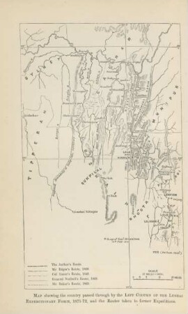
Map showing the country ...

Reiseland Tyrol : = Travelling country Tyrol = Tyrol le pays de tourisme

Travelling convection vortices in the ionosphere map to the central plasma sheet
Woman travelling.
Travelling Communiqué
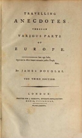
Travelling anecdotes
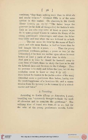
5. Travelling
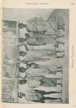
Mundas travelling
Design Research of TIANDITU (Map Worl)-Based Geographic Information System for Travelling Service
Moa op the country round Soochow
Travelling in Switzerland
The Country twenty-five miles round London
Map showing the country ...
Reiseland Tyrol : = Travelling country Tyrol = Tyrol le pays de tourisme
Travelling convection vortices in the ionosphere map to the central plasma sheet
Woman travelling.
Travelling Communiqué
Travelling anecdotes
5. Travelling
Mundas travelling
Design Research of TIANDITU (Map Worl)-Based Geographic Information System for Travelling Service
Moa op the country round Soochow