- Alternative title
-
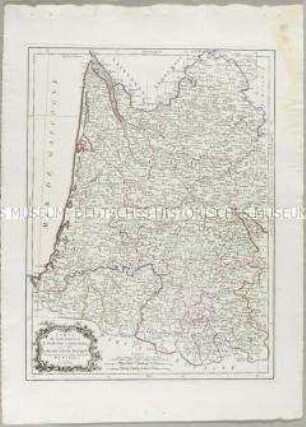
COURS DU RHIN / comprenant / LES PROVINCES UNIES / LES PAYS BAS
- Location
-
Deutsches Historisches Museum, Berlin
- Inventory number
-
Do 2006/964
- Measurements
-
Höhe x Breite: 109 x 77,5 cm (Blatt)
Höhe x Breite: 100 x 69 cm (Karte)
Höhe x Breite: 106,5 x 75 cm (Platte)
- Material/Technique
-
Papier, Kupferstich, grenzkoloriert
- Classification
-
Kartografie (Gattung)
- Subject (what)
-
Rhein
Frankreich
Deutschland
Niederlande
Belgien
Luxemburg
Schweiz
- Event
-
Herstellung
- (who)
-
Geograph, Kartograf: Jean-Baptiste Poirson
Stecher: Pierre François Tardieu
Verleger: ? Jean
- (where)
-
Paris, Frankreich
- (when)
-
1793
- Rights
-
Deutsches Historisches Museum
- Last update
-
24.03.2023, 9:31 AM CET
Data provider
This object is provided by:
Stiftung Deutsches Historisches Museum. If you have any questions about the object, please contact the data provider.
Stiftung Deutsches Historisches Museum. If you have any questions about the object, please contact the data provider.
Object type
- Verwaltungskarte
Associated
- Geograph, Kartograf: Jean-Baptiste Poirson
- Stecher: Pierre François Tardieu
- Verleger: ? Jean
Time of origin
- 1793
Other Objects (12)
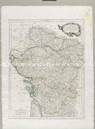
Carte des Gouverneménts d'Anjou et du Saumurois, de la Touraine, du Poitou, du Pays d'Aunis Saintonge-Angoumois
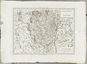
Atlas Nouveau: Gouvernement du Lyonnois
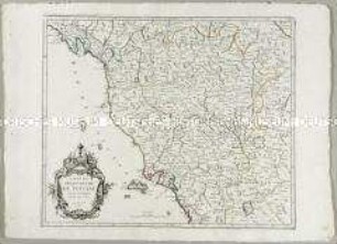
Carte du Grand-Duché de Toscane
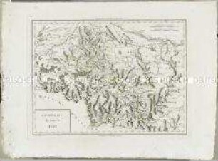
Atlas Nouveau: Gouvernement du Comté de Foix
Carte du Gouvernement de Guyenne et Gascogne
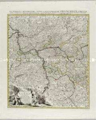
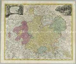
Grand Theatre de la Guerre: L'Electorat de Mayence, le Bas Palatinat et une partie du pays de Hesse et de la rivière du Mein
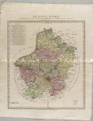
Région Nord comprenant les XI departements du Nord de la France
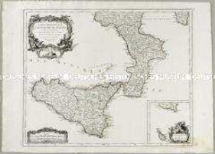
Partie Méridionale du Royaume de Naples. Mit einer Nebenkarte: Supplement pour l'Isle de Malte
Topographische Karte des Elbetals und Umgebung nordwestlich von Dresden in Sachsen
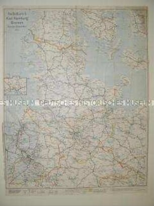
Administrative Karte von Norddeutschland mit den Postleitgebieten
Landgraviatus Hassiae Inferioris nova Tabula
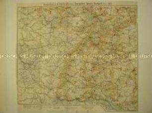
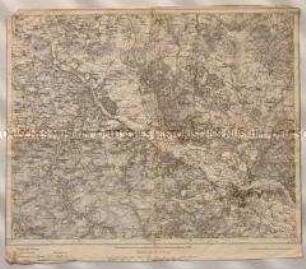
Verwaltungskarte mit den Postleitgebieten Karlsruhe, Saargebiet, Speyer, Stuttgart
Carte des Gouverneménts d'Anjou et du Saumurois, de la Touraine, du Poitou, du Pays d'Aunis Saintonge-Angoumois
Atlas Nouveau: Gouvernement du Lyonnois
Carte du Grand-Duché de Toscane
Atlas Nouveau: Gouvernement du Comté de Foix
Carte du Gouvernement de Guyenne et Gascogne
Grand Theatre de la Guerre: L'Electorat de Mayence, le Bas Palatinat et une partie du pays de Hesse et de la rivière du Mein
Région Nord comprenant les XI departements du Nord de la France
Partie Méridionale du Royaume de Naples. Mit einer Nebenkarte: Supplement pour l'Isle de Malte
Topographische Karte des Elbetals und Umgebung nordwestlich von Dresden in Sachsen
Administrative Karte von Norddeutschland mit den Postleitgebieten
Landgraviatus Hassiae Inferioris nova Tabula