Diözesankarte
Evesché de Meaux. Mit zwei Nebenkarten: Plan de la Ville de Meaux; Plan du Palais Episcopal de Germigny l'Evêque
- Alternative title
-
EVESCHÉ DE MEAUX / DEDIÉ / A MONSEIGNEUR / JACQUES BENIGNE BOSSUET,
- Location
-
Deutsches Historisches Museum, Berlin
- Inventory number
-
Do 2006/63.1-2
- Measurements
-
Höhe x Breite: 57,4 x 80 cm (Blatt 1)
Höhe x Breite: 39367 (Karte 1)
Höhe x Breite: 42,5 x 69,6 cm (Platte 1)
Höhe x Breite: 57,5 x 80 cm (Blatt 2)
Höhe x Breite: 39 x 66,8 cm (Karte 2)
Höhe x Breite: 42,8 x 70 cm (Platte 2)
- Material/Technique
-
Papier, Kupferstich, grenzkoloriert
- Classification
-
Kartografie (Gattung)
- Subject (what)
-
Meaux
Frankreich
- Event
-
Herstellung
- (who)
-
Verleger, Geograph: Alexis Hubert Jaillot
Kartograf: François Chevallier
Stecher: Louis Cordier
- (where)
-
Paris, Frankreich
- (when)
-
1717
- Rights
-
Deutsches Historisches Museum
- Last update
-
24.03.2023, 9:28 AM CET
Data provider
This object is provided by:
Stiftung Deutsches Historisches Museum. If you have any questions about the object, please contact the data provider.
Stiftung Deutsches Historisches Museum. If you have any questions about the object, please contact the data provider.
Object type
- Diözesankarte
Associated
- Verleger, Geograph: Alexis Hubert Jaillot
- Kartograf: François Chevallier
- Stecher: Louis Cordier
Time of origin
- 1717
Other Objects (12)
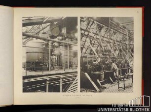
Sucrerie centrale de Meaux
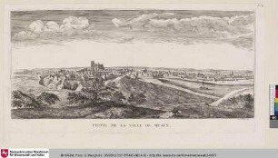
PROFIL DE LA VILLE DE MEAUX

Catechisme du Diocese de Meaux

Catechisme du Diocese de Meaux

Catechisme du Diocese de Meaux

Plakat zur Eröffnung des 1. Weltkriegsmuseums in Meaux, Pays de Meaux, Frankreich
Plakat zur Eröffnung des 1. Weltkriegsmuseums in Meaux, Pays de Meaux, Frankreich

Vie de M. Bossuet, évêque de Meaux
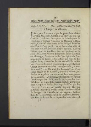
Jugement de M. l`Evêque de Meaux.
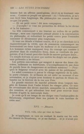
XVI. Meaux
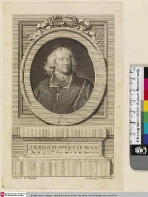
J. B. Bossuet, Eveque de meaux

Oeuvres choisies de Bossuet, évèque de Meaux, 1
Sucrerie centrale de Meaux
PROFIL DE LA VILLE DE MEAUX
Catechisme du Diocese de Meaux
Catechisme du Diocese de Meaux
Catechisme du Diocese de Meaux
Plakat zur Eröffnung des 1. Weltkriegsmuseums in Meaux, Pays de Meaux, Frankreich
Plakat zur Eröffnung des 1. Weltkriegsmuseums in Meaux, Pays de Meaux, Frankreich
Vie de M. Bossuet, évêque de Meaux
Jugement de M. l`Evêque de Meaux.
XVI. Meaux
J. B. Bossuet, Eveque de meaux