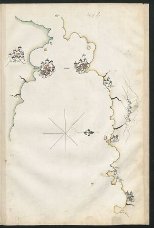
Karte / Plan
Plan von einer Gegend am Rheinstrom ohnweit Wesel [mit Karthäuser Graff-Insel]. J.L. Crampe. 1778 Juli. I 41b/60
- Reference number
-
RW Karten, 2349
- Dimensions
-
Höhe: 45 cm, Breite: 32 cm, Maßstab: [ca. 1 : 22 000]
- Notes
-
Restauriert
- Context
-
RW Karten >> 5. Gewässer >> 5.2. Rhein >> 5.2.2. Kürzere Stromabschnitte
- Holding
-
RW Karten
- Date of creation
-
1778
- Other object pages
- Provenance
-
Diverse Registraturbildner
- Delivered via
- Last update
-
05.11.2025, 4:19 PM CET
Data provider
This object is provided by:
Landesarchiv Nordrhein-Westfalen. Abteilung Rheinland. If you have any questions about the object, please contact the data provider.
Landesarchiv Nordrhein-Westfalen. Abteilung Rheinland. If you have any questions about the object, please contact the data provider.
Object type
- Karten / Pläne
Time of origin
- 1778
Other Objects (12)
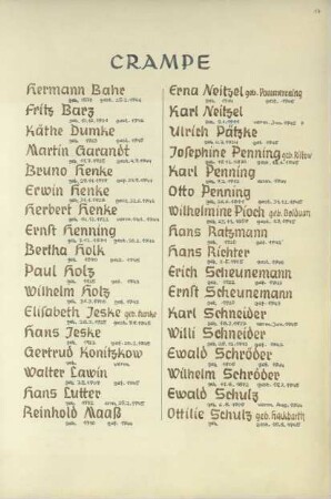
Crampe
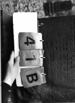
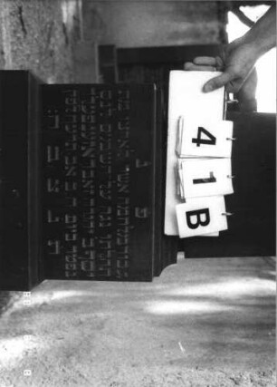
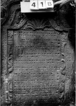
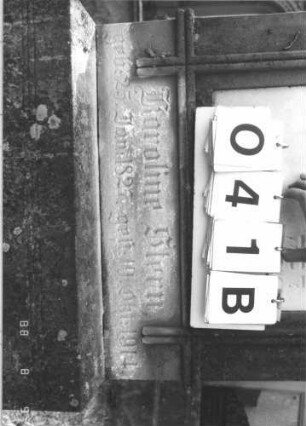
Grabstein 41B
f. 41b
Grabstein 41B
Grabstein 41B

Wilhelmstraße 41b
Hofstettenstr. 41b
Grabstein 41B
Heidweg 41b
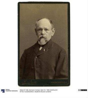
Hermann Crampe
Crampe, Hans
Oberkämmereikassensachen, Bd. 41b
Crampe
Grabstein 41B
f. 41b
Grabstein 41B
Grabstein 41B
Wilhelmstraße 41b
Hofstettenstr. 41b
Grabstein 41B
Heidweg 41b
Hermann Crampe
Crampe, Hans
Oberkämmereikassensachen, Bd. 41b
Crampe
Grabstein 41B
f. 41b
Grabstein 41B
Grabstein 41B
Wilhelmstraße 41b
Hofstettenstr. 41b
Grabstein 41B
Heidweg 41b
Hermann Crampe
Crampe, Hans