- Alternative title
-
HISPANIE / BETIQUE / et / LUSITANIE
- Location
-
Deutsches Historisches Museum, Berlin
- Inventory number
-
Do 2006/578.58
- Measurements
-
Höhe x Breite: 44,5 x 60 cm (Blatt)
Höhe x Breite: 30 x 41,2 cm (Karte)
Höhe x Breite: 34 x 45,5 cm (Platte)
- Material/Technique
-
Papier, Kupferstich, grenzkoloriert
- Classification
-
Kartografie (Gattung)
- Subject (what)
-
Spanien
Portugal
Iberische Halbinsel
- Event
-
Herstellung
- (who)
-
Historiker, Geograph: Edme Mentelle
Stecher: Pierre François Tardieu
- (where)
-
Paris, Frankreich
- (when)
-
um 1782
- Rights
-
Deutsches Historisches Museum
- Last update
-
24.03.2023, 9:27 AM CET
Data provider
This object is provided by:
Stiftung Deutsches Historisches Museum. If you have any questions about the object, please contact the data provider.
Stiftung Deutsches Historisches Museum. If you have any questions about the object, please contact the data provider.
Object type
- Geschichtliche Karte
Associated
- Historiker, Geograph: Edme Mentelle
- Stecher: Pierre François Tardieu
Time of origin
- um 1782
Other Objects (12)
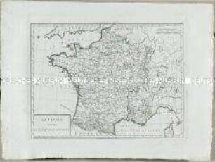
Atlas Nouveau: La France divisee en 32 gr.ds Gouvernemens
Atlas Nouveau: Gouvernement de Saintonge et Angoumois
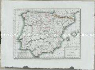
Atlas Nouveau: Espagne Carte Comparative
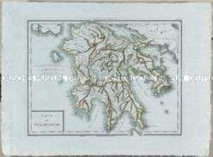
Atlas Nouveau: Carte du Péloponèse
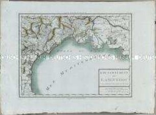
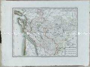
Atlas Nouveau: Gouvernement du Languedoc
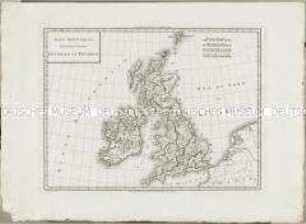
Atlas Nouveau: Isles Britanniques Premiere Carte
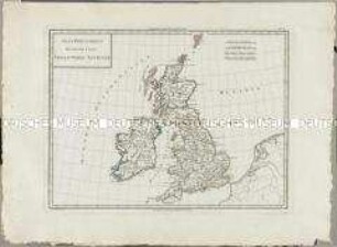
Atlas Nouveau: Isles Britanniques Deuxieme Carte
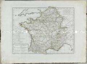
Atlas Nouveau: Carte de la Gaule
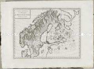
Atlas Nouveau: Royaume De Suède Premiere Carte
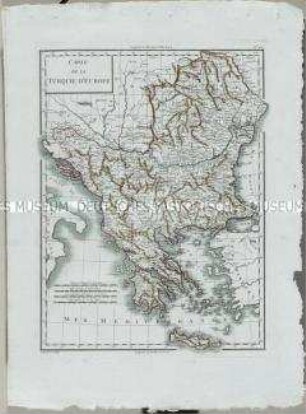
Atlas Nouveau: Carte de la Turquie d'Europe
![Geographie mathématique, physique et politique de toutes les parties du monde : rédigée d'après ce qui a été publié d'exact et de nouveau par les géographes, les naturalistes, les voyageurs et les auteurs de statistique des nations les plus éclairées ... / publ. par Edme Mentelle; Malte Brun. - A Paris, Chez Henry Tardieu, Imp.-Libr., rue de Bièvre, no. 31. Laporte, Libr., rue de Savoie St.-André-des-Arcs, An XII/XIII [1803/1804]](https://iiif.deutsche-digitale-bibliothek.de/image/2/6a8cd379-76f5-4af1-a350-0d01b518cca2/full/!306,450/0/default.jpg)
Geographie mathématique, physique et politique de toutes les parties du monde : rédigée d'après ce qui a été publié d'exact et de nouveau par les géographes, les naturalistes, les voyageurs et les auteurs de statistique des nations les plus éclairées ... / publ. par Edme Mentelle; Malte Brun. - A Paris, Chez Henry Tardieu, Imp.-Libr., rue de Bièvre, no. 31. Laporte, Libr., rue de Savoie St.-André-des-Arcs, An XII/XIII [1803/1804]
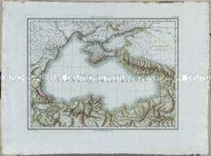
Atlas Nouveau: Carte de la Mer Noire ou Kara Degniz
Atlas Nouveau: La France divisee en 32 gr.ds Gouvernemens
Atlas Nouveau: Gouvernement de Saintonge et Angoumois
Atlas Nouveau: Espagne Carte Comparative
Atlas Nouveau: Carte du Péloponèse
Atlas Nouveau: Gouvernement du Languedoc
Atlas Nouveau: Isles Britanniques Premiere Carte
Atlas Nouveau: Isles Britanniques Deuxieme Carte
Atlas Nouveau: Carte de la Gaule
Atlas Nouveau: Royaume De Suède Premiere Carte
Atlas Nouveau: Carte de la Turquie d'Europe
Geographie mathématique, physique et politique de toutes les parties du monde : rédigée d'après ce qui a été publié d'exact et de nouveau par les géographes, les naturalistes, les voyageurs et les auteurs de statistique des nations les plus éclairées ... / publ. par Edme Mentelle; Malte Brun. - A Paris, Chez Henry Tardieu, Imp.-Libr., rue de Bièvre, no. 31. Laporte, Libr., rue de Savoie St.-André-des-Arcs, An XII/XIII [1803/1804]