- Alternative title
-
PLAN von LILLE oder RYSSEL.
- Location
-
Deutsches Historisches Museum, Berlin
- Inventory number
-
Do 2006/379
- Measurements
-
Höhe x Breite: 37,4 x 48,7 cm (Blatt)
Höhe x Breite: 25 x 30 cm (Karte)
Höhe x Breite: 30,4 x 34,7 cm (Platte)
- Material/Technique
-
Druckfarbe, Papier, Kupferstich, koloriert
- Classification
-
Kartografie (Gattung)
- Subject (what)
-
Lille
- Event
-
Herstellung
- (who)
-
Kartograf: Franz Ludwig Güssefeld
Stecher: Karl Friedrich Müller
Verleger: J. B. Klein
- (where)
-
Leipzig [historisch: Leipzig], Deutschland [historisch: Heiliges Römisches Reich deutscher Nation]
- (when)
-
um 1793
- Rights
-
Deutsches Historisches Museum
- Last update
-
24.03.2023, 9:28 AM CET
Data provider
This object is provided by:
Stiftung Deutsches Historisches Museum. If you have any questions about the object, please contact the data provider.
Stiftung Deutsches Historisches Museum. If you have any questions about the object, please contact the data provider.
Object type
- Fotifikationsplan
Associated
- Kartograf: Franz Ludwig Güssefeld
- Stecher: Karl Friedrich Müller
- Verleger: J. B. Klein
Time of origin
- um 1793
Other Objects (12)
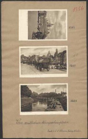
Ryssel (Lille)
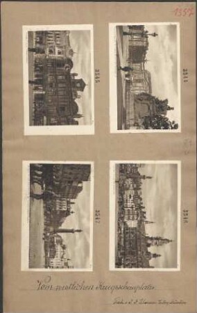
Ryssel (Lille) Marktplatz

Ryssel (Lille) Kanal

Ryssel (Lille) Hauptwache
18: Ryssel (Lille)

Lille oder Ryssel, im Französischen Flandern
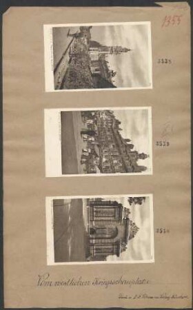
Ryssel (Lille) Pariser Tor

Ryssel (Lille) Alte Börse

Ryssel (Lille) Grosser Platz
Ryssel (Lille) Einzug deutscher Kolonnen

Ryssel (Lille) Theater und neue Börse

Ryssel (Lille) Republik Platz mit Präfektur
Ryssel (Lille)
Ryssel (Lille) Marktplatz
Ryssel (Lille) Kanal
Ryssel (Lille) Hauptwache
18: Ryssel (Lille)
Lille oder Ryssel, im Französischen Flandern
Ryssel (Lille) Pariser Tor
Ryssel (Lille) Alte Börse
Ryssel (Lille) Grosser Platz
Ryssel (Lille) Einzug deutscher Kolonnen
Ryssel (Lille) Theater und neue Börse