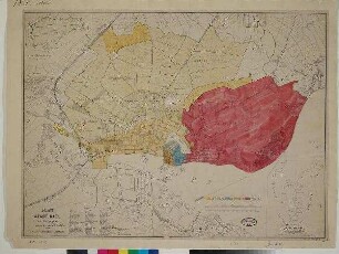
Stadtplan
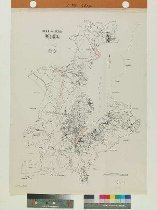
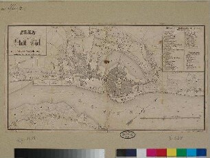
PLAN der STADT KIEL
Maßstab 1:20.000 Maßstab in geogr. Form (Meter) ohne Kt-Netz Die Karte zeigt die Stadt Kiel und im Stadtgebiet geplante Ausbauprojekte.
- Standort
-
Schleswig-Holsteinische Landesbibliothek - Landesgeschichtliche Sammlung
- Sammlung
-
Karten
- Inventarnummer
-
II 126 2Ex
- Maße
-
Blattmaß: Höhe: 79,5 cm; Breite: 59,7 cm Bildmaß: Höhe: 73 cm; Breite: 53 cm
- Material/Technik
-
Papier; Druckverfahren
- Inschrift/Beschriftung
-
Signatur: betitelt Wo: o. l. Was: PLAN der STADT KIEL
Signatur: bezeichnet Wo: o. l. Was: Verlängerung der Bahn Hassee Eichof bis zum Nordhafen.
- Klassifikation
-
Stadt- und Bebauungspläne (Sachgruppe)
- Bezug (was)
-
Ikonographie: Stadtpläne
- Bezug (wo)
-
Kiel
- Ereignis
-
Herstellung
- (wann)
-
1925
- Geliefert über
- Letzte Aktualisierung
-
29.04.2025, 11:17 MESZ
Datenpartner
Dieses Objekt wird bereitgestellt von:
Schleswig-Holsteinische Landesbibliothek - Landesgeschichtliche Sammlung. Bei Fragen zum Objekt wenden Sie sich bitte an den Datenpartner.
Schleswig-Holsteinische Landesbibliothek - Landesgeschichtliche Sammlung. Bei Fragen zum Objekt wenden Sie sich bitte an den Datenpartner.
Objekttyp
- Stadtplan
Entstanden
- 1925
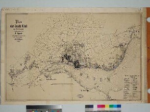
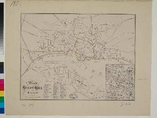
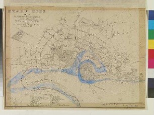
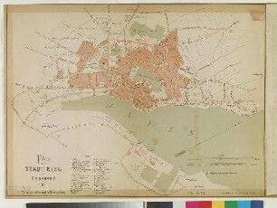
Ähnliche Objekte (12)
PLAN der STADT KIEL
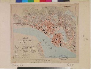
PLAN der Stadt Kiel, 1867.
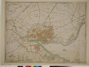
PLAN der STADT KIEL und Umgegend
Plan der Stadt Kiel und Umgegend.
PLAN der STADT KIEL und Umgegend

Plan der Stadt Kiel und Umgegend.
Plan der Stadt Kiel und Umgegend.

PLAN der STADT KIEL mit dem Stadterweiterungsplan

PLAN der Stadt Kiel mit der Umgegend.
PLAN der STADT KIEL mit dem Stadterweiterungsplan
Plan der STADT KIEL und Umgegend 1876
Plan der Stadt Kiel mit nächster Umgegend.
PLAN der STADT KIEL
PLAN der Stadt Kiel, 1867.
PLAN der STADT KIEL und Umgegend
Plan der Stadt Kiel und Umgegend.
PLAN der STADT KIEL und Umgegend
Plan der Stadt Kiel und Umgegend.
Plan der Stadt Kiel und Umgegend.
PLAN der STADT KIEL mit dem Stadterweiterungsplan
PLAN der Stadt Kiel mit der Umgegend.
PLAN der STADT KIEL mit dem Stadterweiterungsplan
Plan der STADT KIEL und Umgegend 1876