
- Alternative title
-
Politisch-militärische Karte der Balkanhalbinsel mit den neuesten Grenzen
- Location
-
Forschungsbibliothek Gotha -- SPA 2° 00735
- Extent
-
1 gef. Kt, 66 x 81 cm
- Language
-
Deutsch
- Notes
-
Maßstab in graph. Form (Kilometer). - Nullmeridian: Greenwich. - Mit 5 Nebenkt.: Constantinopel im Maßstab 1:150.000, Athen und Piraeus im Maßstab 1:150.000, Das nördliche Rumänien im Anschluß an die Hauptkarte, Strasse der Dardanellen im Maßstab 1:500.000, Der Bosporus im Maßstab 1:500.000 Politisch-militärische Karte der Balkanhalbinsel mit den neuesten Grenzen Auch in: Stielers Handatlas Sammlung Perthes
- Contributor
- Published
-
Gotha : Justus Perthes , 1915
- URN
-
urn:nbn:de:urmel-1a7253b5-20fd-44b9-997e-78fa7a679f079-00011335-13
- PURL
- Last update
-
02.12.2025, 7:20 AM CET
Data provider
This object is provided by:
Forschungsbibliothek Gotha der Universität Erfurt. If you have any questions about the object, please contact the data provider.
Forschungsbibliothek Gotha der Universität Erfurt. If you have any questions about the object, please contact the data provider.
Object type
- Karte
Associated
Time of origin
- Gotha : Justus Perthes , 1915
Other Objects (12)

Politisch-militärische Karte der Balkan-Halbinsel : Auf Grundlage von Karten aus Stielers Handatlas

Politisch-militärische Karte der Balkan-Halbinsel : Auf Grundlage von Karten aus Stielers Handatlas
![Politisch-militärische Karte der Balkanhalbinsel : [Mit 5 Nebenkt.]](/assets/placeholder/searchResultMediaNoDigitisedMedia.png)
Politisch-militärische Karte der Balkanhalbinsel : [Mit 5 Nebenkt.]
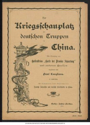
Kriegsschauplatz der deutschen Truppen in China

Deutsch-Französisch-Belgischer Kriegsschauplatz : Auf Grundlage von Karten aus Stielers Handatlas

Karte des Afrikander-Aufstandes im Kaplande und des Angriffskrieges der Buren

Politisch-militärische Karte von Marokko

Verkehrskarte von Europa, Nord-Afrika und dem Morgenlande

Tageskarte zur Serbischen Frage

Neuer Seekriegs-Schauplatz der russisch-japanischen Flotten : Auf Grund der von Berghaus' Chart of the World und Stielers Handatlas

Deutscher Marine-Atlas

Tripolis und das östliche Mittelmeer, der Schauplatz des italienisch-türkischen Konfliktes
Politisch-militärische Karte der Balkan-Halbinsel : Auf Grundlage von Karten aus Stielers Handatlas
Politisch-militärische Karte der Balkan-Halbinsel : Auf Grundlage von Karten aus Stielers Handatlas
Politisch-militärische Karte der Balkanhalbinsel : [Mit 5 Nebenkt.]
Kriegsschauplatz der deutschen Truppen in China
Deutsch-Französisch-Belgischer Kriegsschauplatz : Auf Grundlage von Karten aus Stielers Handatlas
Karte des Afrikander-Aufstandes im Kaplande und des Angriffskrieges der Buren
Politisch-militärische Karte von Marokko
Verkehrskarte von Europa, Nord-Afrika und dem Morgenlande
Tageskarte zur Serbischen Frage
Neuer Seekriegs-Schauplatz der russisch-japanischen Flotten : Auf Grund der von Berghaus' Chart of the World und Stielers Handatlas
Deutscher Marine-Atlas