Administrative Karte
Administrative Karte mit den Grenzen des "Reichskommissariats Ostland" nach dem Überfall Deutschlands auf die Sowjetunion
- Alternative title
-
Provinz Ostpreußen und Bezirk Bialystok
- Location
-
Deutsches Historisches Museum, Berlin
- Inventory number
-
Do2 2016/2062
- Measurements
-
Höhe x Breite: 156 x 153 cm
- Material/Technique
-
Papier : Leinwand, gedruckt
- Classification
-
Kartografie (Gattung)
- Subject (what)
-
Weltkrieg, 2.
Besetzte Gebiete
Sowjetunion
- Event
-
Herstellung
- (who)
-
Bearbeiter: Reichsamt für Landesaufnahme
- (where)
-
Berlin, Deutschland [historisch: Deutsches Reich]
- (when)
-
1942
- Rights
-
Deutsches Historisches Museum
- Last update
-
24.03.2023, 9:27 AM CET
Data provider
This object is provided by:
Stiftung Deutsches Historisches Museum. If you have any questions about the object, please contact the data provider.
Stiftung Deutsches Historisches Museum. If you have any questions about the object, please contact the data provider.
Object type
- Administrative Karte
Associated
- Bearbeiter: Reichsamt für Landesaufnahme
Time of origin
- 1942
Other Objects (12)
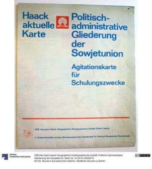
Politisch-administrative Gliederung der Sowjetunion
Politisch-administrative Karte der Sowjetunion

Vereinsregisterakte: Reiterkreis Ostland, Pferdefreunde Ostland
Ostland
Ostland

Ostland
Küstenschutzflottille Ostland
Kameradschaft Ostland
Kahn "Ostland"
Gruppe Ostland
Landesverband Ostland
Litauen (Ostland)
Politisch-administrative Gliederung der Sowjetunion
Politisch-administrative Karte der Sowjetunion
Vereinsregisterakte: Reiterkreis Ostland, Pferdefreunde Ostland
Ostland
Ostland
Ostland
Küstenschutzflottille Ostland
Kameradschaft Ostland
Kahn "Ostland"
Gruppe Ostland
Landesverband Ostland