Karte
Plan Of Constitucion and Port at the Mouth of the River Maule : Lat. 35°21' Long. 72°29' ; Soundings in Feet

- Location
-
IAI Berlin
- Extent
-
1 Pl, [Ca. 1:21.000]
- Material
-
Karte
- Language
-
Englisch
- Notes
-
Maßstab in graph. Form (Yards). - S oben. - Mit Tiefenangaben. - Inselkt.
Titel unten links
- Series
-
Altkarten-Projekt des IAI
- Contributor
-
Gritzner, M. C.
- Published
-
[S.l.] , 1850
Berlin : Ibero-Amerikanisches Institut
- PURL
- Last update
-
09.05.2025, 3:06 PM CEST
Data provider
This object is provided by:
Ibero-Amerikanisches Institut - Stiftung Preußischer Kulturbesitz. If you have any questions about the object, please contact the data provider.
Ibero-Amerikanisches Institut - Stiftung Preußischer Kulturbesitz. If you have any questions about the object, please contact the data provider.
Object type
- Karte
Associated
- Gritzner, M. C.
Time of origin
- [S.l.] , 1850
- Berlin : Ibero-Amerikanisches Institut
Other Objects (12)

3521

Constitución
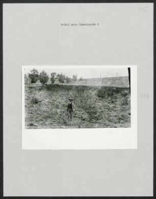
Constitución

Nr. 3521
3521 Rehburg
3.5.2.1 - Zeitzeugenprojekt
Nr. 3521

TGL 3521
TGL 3521
352.1. Kirchenbuchduplikate
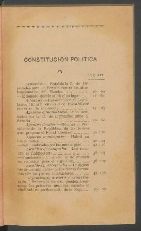
Constitución Política
En Constitución
3521
Constitución
Constitución
Nr. 3521
3521 Rehburg
3.5.2.1 - Zeitzeugenprojekt
Nr. 3521
TGL 3521
TGL 3521
352.1. Kirchenbuchduplikate
Constitución Política
En Constitución
3521
Constitución
Constitución
Nr. 3521
3521 Rehburg
3.5.2.1 - Zeitzeugenprojekt
Nr. 3521
TGL 3521
TGL 3521
352.1. Kirchenbuchduplikate
Constitución Política