Karte / Plan
Brouillonkarte des Ruhrstroms von Kettwig bis Mülheim [mit Einzeichnung der Uferbefestigungen]. (I 68); I1 G No. 49
- Reference number
-
RW Karten, 3962
- Dimensions
-
Höhe: 266 cm, Breite: 67 cm
- Context
-
RW Karten >> 5. Gewässer >> 5.3. Ruhr >> 5.3.2. Kürzere Stromabschnitte
- Holding
-
RW Karten
- Date of creation
-
[1810]
- Other object pages
- Provenance
-
Diverse Registraturbildner
- Delivered via
- Last update
-
05.11.2025, 4:09 PM CET
Data provider
This object is provided by:
Landesarchiv Nordrhein-Westfalen. Abteilung Rheinland. If you have any questions about the object, please contact the data provider.
Landesarchiv Nordrhein-Westfalen. Abteilung Rheinland. If you have any questions about the object, please contact the data provider.
Object type
- Karten / Pläne
Time of origin
- [1810]
Other Objects (12)

Uferbefestigungen
Uferbefestigungen
Uferbefestigungen
Jährliche Uferbefestigungen

I.1
![Brouillonkarte der Ruhr von Heisingen bis Kettwig [mit Haus Oefte, Papiermühlenschleuse, kgl. Primward, Neukircher Schleuse]. (VI 393); I1 G No. 95](https://iiif.deutsche-digitale-bibliothek.de/image/2/160af657-60ec-409a-81ad-e8bc2036c3fa/full/!306,450/0/default.jpg)
Brouillonkarte der Ruhr von Heisingen bis Kettwig [mit Haus Oefte, Papiermühlenschleuse, kgl. Primward, Neukircher Schleuse]. (VI 393); I1 G No. 95
Uferbefestigungen der Wasserstraßen
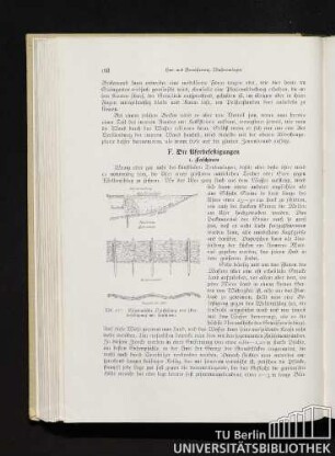
F. Die Uferbefestigungen
Uferbefestigungen des Rheins
Wegeausbesserung, Uferbefestigungen, Hausnummerierungen
Uferbefestigungen des Rheins
Uferbefestigungen, Bd. 2
Uferbefestigungen
Uferbefestigungen
Uferbefestigungen
Jährliche Uferbefestigungen
I.1
Brouillonkarte der Ruhr von Heisingen bis Kettwig [mit Haus Oefte, Papiermühlenschleuse, kgl. Primward, Neukircher Schleuse]. (VI 393); I1 G No. 95
Uferbefestigungen der Wasserstraßen
F. Die Uferbefestigungen
Uferbefestigungen des Rheins
Wegeausbesserung, Uferbefestigungen, Hausnummerierungen
Uferbefestigungen des Rheins