- Alternative title
-
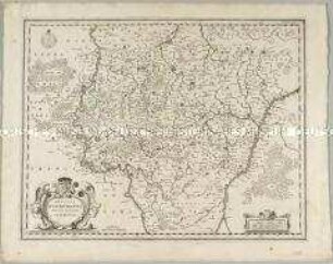
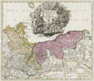
EXACTISSIMA STATUUM TOTIUS DUCATUS BAVARIAE TABULA SECUND / UM OMNES STATUS &. PRAEFECTURAS, CUM INSERTIS ET FINITIMIS REGIONIBUS IN IX. MAPPIS GEOGRAPH. RECENS EL / UCUBRATA ET SINGULATIM DIVISA PER G. C. BUNA V. D. M. FREYBURGI
- Location
-
Deutsches Historisches Museum, Berlin
- Inventory number
-
Do 2006/562.1-9
- Measurements
-
Höhe x Breite: 68,7 x 57,7 cm (Blatt 1)
Höhe x Breite: 53,6 x 51,2 cm (Karte 1)
Höhe x Breite: 60,3 x 55,8 cm (Platte 1)
- Material/Technique
-
Papier, Kupferstich
- Classification
-
Kartografie (Gattung)
- Subject (what)
-
Bayern
- Event
-
Herstellung
- (who)
-
Kartograf: Wilhelm C. Buna
Stecher: Johan Conrad Back
Verleger: Heinrich Ludwig Broenner
- (where)
-
Frankfurt (Main) Offenbach (Main), Deutschland
- (when)
-
um 1750
- Rights
-
Deutsches Historisches Museum
- Last update
- 24.03.2023, 9:27 AM CET
Data provider
This object is provided by:
Stiftung Deutsches Historisches Museum. If you have any questions about the object, please contact the data provider.
Stiftung Deutsches Historisches Museum. If you have any questions about the object, please contact the data provider.
Object type
- Regionalkarte
Associated
- Kartograf: Wilhelm C. Buna
- Stecher: Johan Conrad Back
- Verleger: Heinrich Ludwig Broenner
Time of origin
- um 1750
Other Objects (12)
Mappa Electoratus et Ducatus Bavariae Superioris et Inferioris
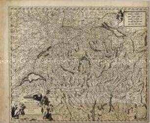
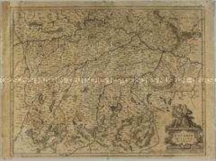
Exactißima Helvetiae
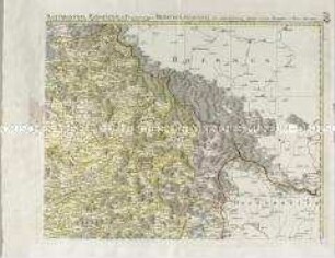
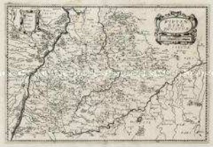
Palatinatus Bavariae

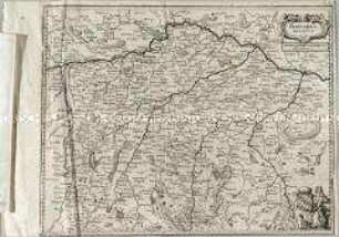
Ducatus Pomeraniae
Ducatus Lutzenburgensis
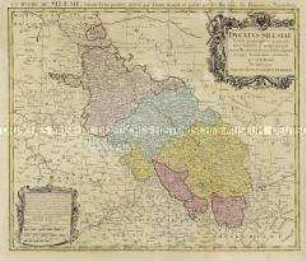
Ducatus Silesiae
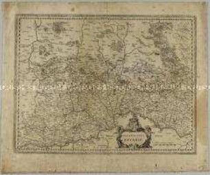
Bavaria Ducatus
Mekelnburg Ducatus
Wirtenberg Ducatus
Ducatus Breslanus
Bavaria Ducatus
Ducatus Pomeraniae
Mappa Electoratus et Ducatus Bavariae Superioris et Inferioris
Exactißima Helvetiae
Palatinatus Bavariae
Ducatus Pomeraniae
Ducatus Lutzenburgensis
Ducatus Silesiae
Bavaria Ducatus
Mekelnburg Ducatus
Wirtenberg Ducatus
Ducatus Breslanus
Bavaria Ducatus
Ducatus Pomeraniae
Mappa Electoratus et Ducatus Bavariae Superioris et Inferioris
Exactißima Helvetiae
Palatinatus Bavariae
Ducatus Pomeraniae
Ducatus Lutzenburgensis
Ducatus Silesiae
Bavaria Ducatus
Mekelnburg Ducatus
Wirtenberg Ducatus
Ducatus Breslanus
Bavaria Ducatus