- Alternativer Titel
-
Repraesentatio Geographica CIRCVLI EGERANI, nec non ELNBO-/GENSIS, in quo simul viae Egeranae in Thermas Carolinas distincta delineatio con-/ spicitur. Ex prototypo Mulleriano majori omnia desumta, sed passim emendata et Territorio/ Aschensi rectius designato aucta. Cum P.S.C.M. Norimbergae apud Homannianos Heredes. A. 1742.
- Standort
-
Deutsches Historisches Museum, Berlin
- Inventarnummer
-
Do 2002/146
- Maße
-
Höhe x Breite: 54,7 x 61,1 cm (Blatt), Höhe x Breite: 52,1 x 59,9 cm (Platte)
- Material/Technik
-
Papier, Kupferstich, koloriert
- Klassifikation
-
Kartografie (Gattung)
- Bezug (was)
-
Eger
Plauen
Böhmen
- Ereignis
-
Herstellung
- (wer)
-
Verlag: Homannsche Erben
- (wo)
-
Nürnberg [historisch: Norimbergae], Deutschland [historisch: Heiliges Römisches Reich]
- (wann)
-
1742
- Rechteinformation
-
Deutsches Historisches Museum
- Letzte Aktualisierung
-
24.03.2023, 09:27 MEZ
Datenpartner
Dieses Objekt wird bereitgestellt von:
Stiftung Deutsches Historisches Museum. Bei Fragen zum Objekt wenden Sie sich bitte an den Datenpartner.
Stiftung Deutsches Historisches Museum. Bei Fragen zum Objekt wenden Sie sich bitte an den Datenpartner.
Objekttyp
- Regionalkarte
Beteiligte
- Verlag: Homannsche Erben
Entstanden
- 1742
Ähnliche Objekte (12)

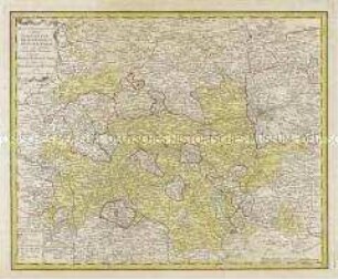
Circuli Supe. Saxoniae
Circuli Supe. Saxoniae
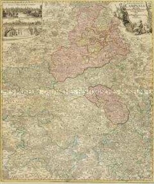
Tabula Geographica Campaniae. Mit zwei Nebenkarten: Reims und Troyes

Tabula Geographica Totam Borussiam ut et Districtum Notecensem. Mit einer Nebenkarte: Charte welche den Netz District vorstellet
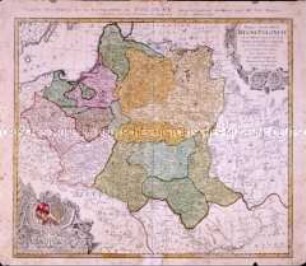
Delineatio Geographica [...] Vogtlandiae
Mappa Geographica Regni Poloniae
Mappa Geographica Regni Poloniae
Mappa geographica exhibens Principatum Brandenburgico Onolsbacensem
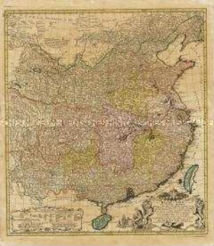
Regni Sinae vel Sinae Propriae Mappa et Descriptio Geographica
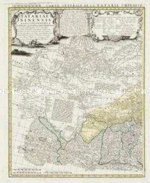
Tatariae Sinensis Mappa Geographica / Carte Generale de la Tatarie Chinoise
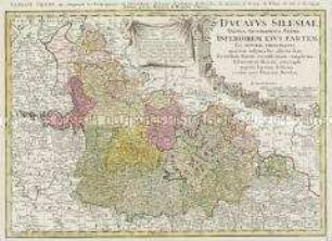
Ducatus Silesiae Tabula Geographica Prima Inferiorem eius Partem seu Nova Principatus
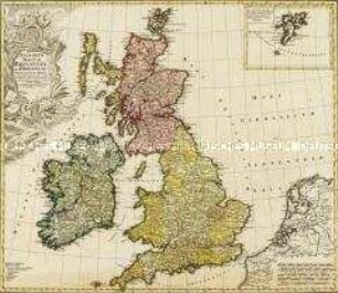
Regnorum Magnae Britanniae Et Hiberniae Mappa Geographica. Mit einer Nebenkarte: Insulae Schetlandiae
Circuli Supe. Saxoniae
Circuli Supe. Saxoniae
Tabula Geographica Campaniae. Mit zwei Nebenkarten: Reims und Troyes
Tabula Geographica Totam Borussiam ut et Districtum Notecensem. Mit einer Nebenkarte: Charte welche den Netz District vorstellet
Delineatio Geographica [...] Vogtlandiae
Mappa Geographica Regni Poloniae
Mappa Geographica Regni Poloniae
Mappa geographica exhibens Principatum Brandenburgico Onolsbacensem
Regni Sinae vel Sinae Propriae Mappa et Descriptio Geographica
Tatariae Sinensis Mappa Geographica / Carte Generale de la Tatarie Chinoise
Ducatus Silesiae Tabula Geographica Prima Inferiorem eius Partem seu Nova Principatus