zweidimensionales bewegtes Bild
Creating Charts and Legends for 3D Atlas Maps - A Mashup of D3.js, osgEarth, and the Chromium Embedded Framework
- Location
-
Hannover TIB
- Extent
-
214MB, 00:19:59:04 (unknown)
- Language
-
Englisch
- Notes
-
Audiovisuelles Material
- Bibliographic citation
-
FOSS4G 2014 Portland ; (Jan. 2014)
- Keyword
-
Mashup
Virtual Globes
National Atlases
Chromium Embedded Framework
3D Cartography
D3.js
osgEarth
Charts
Legend
- Event
-
Veröffentlichung
- (who)
-
FOSS4G, Open Source Geospatial Foundation (OSGeo)
- (when)
-
2014-01-01
- Contributor
-
Schnürer, Raimund
- DOI
-
10.5446/31672
- Last update
-
04.12.2024, 8:09 AM CET
Data provider
This object is provided by:
Technische Informationsbibliothek (TIB). If you have any questions about the object, please contact the data provider.
Technische Informationsbibliothek (TIB). If you have any questions about the object, please contact the data provider.
Object type
- zweidimensionales bewegtes Bild
Associated
- Schnürer, Raimund
- FOSS4G, Open Source Geospatial Foundation (OSGeo)
Time of origin
- 2014-01-01
Other Objects (12)
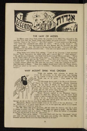
Legends

Rübezahl legends
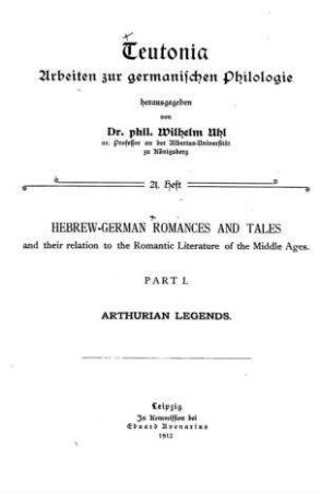
Arthurian Legends
Urban legends
Urban legends
Regimental Legends

Melanin-embedded materials effectively remove hexavalent chromium (CrVI) from aqueous solution
CHROMIUM
Electronic excitations and spin interactions in chromium trihalides from embedded many-body wavefunctions
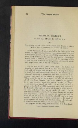
Sea-Dyak Legends
Harley-Davidson legends
Folktales and legends
Legends
Rübezahl legends
Arthurian Legends
Urban legends
Urban legends
Regimental Legends
Melanin-embedded materials effectively remove hexavalent chromium (CrVI) from aqueous solution
CHROMIUM
Electronic excitations and spin interactions in chromium trihalides from embedded many-body wavefunctions
Sea-Dyak Legends
Harley-Davidson legends