Karte
A map of the island of Jamaica. : Divided into counties and parishes, for the History of the British West Indies by Bryan Edwards Esq. 1794.

- Sprache
-
Englisch
- Erschienen in
-
Edwards, Bryan. - The history, civil and commercial, of the British West Indies : with a continuation to the present time ; Atlas
- Erschienen
-
1818
- Letzte Aktualisierung
-
09.05.2025, 15:05 MESZ
Datenpartner
Dieses Objekt wird bereitgestellt von:
Ibero-Amerikanisches Institut - Stiftung Preußischer Kulturbesitz. Bei Fragen zum Objekt wenden Sie sich bitte an den Datenpartner.
Ibero-Amerikanisches Institut - Stiftung Preußischer Kulturbesitz. Bei Fragen zum Objekt wenden Sie sich bitte an den Datenpartner.
Objekttyp
- Karte
Entstanden
- 1818
Ähnliche Objekte (12)

BRYAN ADAMS. THE BEST OF ME. LIVE

The gardens of England in the northern counties

The Rural Economy of the Southern Counties. 2
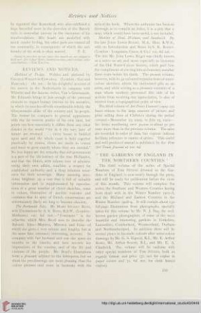
The gardens of England in the Northern counties

The Rural Economy of the Southern Counties. 1
Representing the Holocaust : in honour of Bryan Burns

Traumatic Migration of the Bryan Cervical Disc Arthroplasty
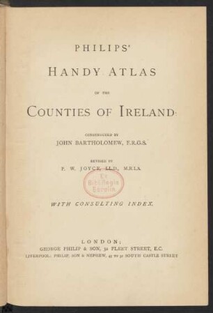
Philips' Handy Atlas of the Counties of Ireland

The gardens of England in the Midland & Eastern counties
CovidCounties is an interactive real time tracker of the COVID19 pandemic at the level of US counties
The consumers of green products: The case of Romanian Moldavia counties
The status of health services in the 15 counties of Liberia
BRYAN ADAMS. THE BEST OF ME. LIVE
The gardens of England in the northern counties
The Rural Economy of the Southern Counties. 2
The gardens of England in the Northern counties
The Rural Economy of the Southern Counties. 1
Representing the Holocaust : in honour of Bryan Burns
Traumatic Migration of the Bryan Cervical Disc Arthroplasty
Philips' Handy Atlas of the Counties of Ireland
The gardens of England in the Midland & Eastern counties
CovidCounties is an interactive real time tracker of the COVID19 pandemic at the level of US counties
The consumers of green products: The case of Romanian Moldavia counties