
- Alternative title
-
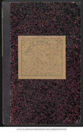
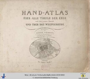
Stielers Hand-Atlas
- Location
-
Forschungsbibliothek Gotha -- SPA 2° 000020
- Extent
-
11 S., 107 gef. Bl., 2°
- Language
-
Deutsch
- Notes
-
Nebent.: Stielers Hand-Atlas Grenzen i.d.R. handkoloriert Karten
- Creator
- Contributor
- Published
-
Gotha : Justus Perthes , 1875
- Sponsorship
-
Deutsche ForschungsgemeinschaftThüringer Ministerium für Wirtschaft, Wissenschaft und Digitale Gesellschaft
- URN
-
urn:nbn:de:urmel-9f458ad7-0b8e-4eab-bcca-f51a895c44424-00011926-012
- PURL
- Last update
-
14.04.2025, 12:54 PM CEST
Data provider
This object is provided by:
Forschungsbibliothek Gotha der Universität Erfurt. If you have any questions about the object, please contact the data provider.
Forschungsbibliothek Gotha der Universität Erfurt. If you have any questions about the object, please contact the data provider.
Object type
- Monografie
Time of origin
- Gotha : Justus Perthes , 1875
Other Objects (12)
Hand-Atlas Über Alle Theile Der Erde Und Über Das Weltgebäude : Erste Ausgabe 1817 - Jubelausgabe 1867
![Hand-Atlas, [...]. Namenverzeichnis zu Stielers Hand-Atlas](/assets/placeholder/searchResultMediaNoDigitisedMedia.png)
Hand-Atlas, [...]. Namenverzeichnis zu Stielers Hand-Atlas
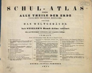
Schul-Atlas Über Alle Theile Der Erde Nach Dem Neuesten Zustande, Und Über Das Weltgebäude : Nach Stieler's Hand-Atlas verkleinert
Karte Des Deutschen Reichs Und Der Nachbarländer In XXV Blättern
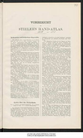
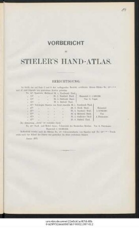
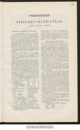
Vorbericht zu Stieler's Hand-Atlas
Vorbericht zu Stieler's Hand-Atlas
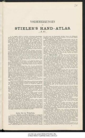
Vorbemerkungen zu Stieler's Hand-Atlas
Vorbericht zu Stieler's Hand-Atlas
Hand-Atlas über alle Theile der Erde : nach dem neuesten Zustande und über das Weltgebäude
Adolf Stieler's Handatlas Über Alle Theile Der Erde Und Über Das Weltgebäude : 95 Karten
Bericht zu Stieler's Hand-Atlas nebst ausführlichen Erläuterungen einzelner Karten

Hand-Atlas Über Alle Theile Der Erde Und Über Das Weltgebäude : nach dem neuesten Zustande, 0
Hand-Atlas Über Alle Theile Der Erde Und Über Das Weltgebäude : Erste Ausgabe 1817 - Jubelausgabe 1867
Hand-Atlas, [...]. Namenverzeichnis zu Stielers Hand-Atlas
Schul-Atlas Über Alle Theile Der Erde Nach Dem Neuesten Zustande, Und Über Das Weltgebäude : Nach Stieler's Hand-Atlas verkleinert
Karte Des Deutschen Reichs Und Der Nachbarländer In XXV Blättern
Vorbericht zu Stieler's Hand-Atlas
Vorbericht zu Stieler's Hand-Atlas
Vorbemerkungen zu Stieler's Hand-Atlas
Vorbericht zu Stieler's Hand-Atlas
Hand-Atlas über alle Theile der Erde : nach dem neuesten Zustande und über das Weltgebäude
Adolf Stieler's Handatlas Über Alle Theile Der Erde Und Über Das Weltgebäude : 95 Karten
Bericht zu Stieler's Hand-Atlas nebst ausführlichen Erläuterungen einzelner Karten