
- Sprache
-
Englisch
- Erschienen in
-
Squier, Ephraim G.. - The states of Central America : their geography, topography, climate, population, resources, productions, commerce, political organization, aborigines etc., etc., comprising chapters on Honduras, San Salvador, Nicaragua, Costa Rica, Guatemala, Belize, the Bay Islands, the Mosquito Shore and the Honduras Inter-Oceanic Railway
- Erschienen
-
1858
- Letzte Aktualisierung
-
09.04.2025, 13:27 MESZ
Datenpartner
Dieses Objekt wird bereitgestellt von:
Staats- und Universitätsbibliothek Hamburg Carl von Ossietzky. Bei Fragen zum Objekt wenden Sie sich bitte an den Datenpartner.
Staats- und Universitätsbibliothek Hamburg Carl von Ossietzky. Bei Fragen zum Objekt wenden Sie sich bitte an den Datenpartner.
Objekttyp
- Illustration
Entstanden
- 1858
Ähnliche Objekte (12)
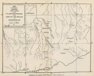
Map of a portion of Malwa showing the routes ...
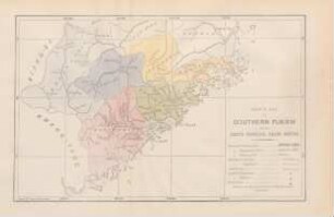
Sketch map of Southern Fukien showing Amoy's principal trade routes
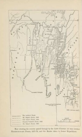
Map showing the country ...
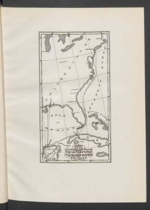
Map showing distances and routes from the United States to the ruined cities of Yucatan
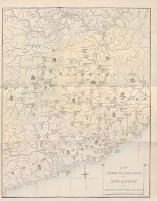
Map showing the trade routes connecting Swatow with the provinces of Fukien, Kiangsi, and Hunan
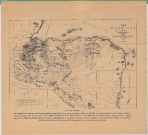
Map of Honduras And San Salvador, Central America : Showing the line of the Proposed Honduras Interoceanic Railway
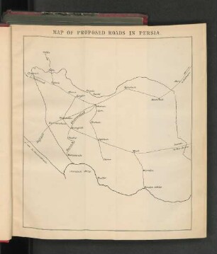
Map of Proposed Roads in Persia.
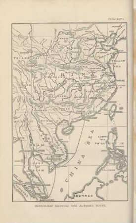
Sketch-map showing the author's route
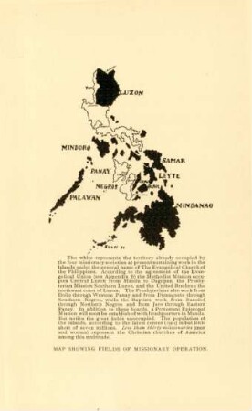
Map showing fields of missionary operation
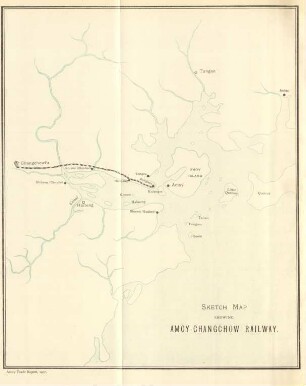
Sketch map showing Amoy-Changchow railway
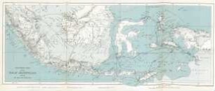
Southern part of the Malay Archipelago showing Mr. Wallace's routes
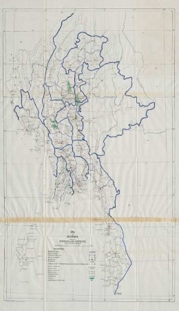
Map of Burma showing divisions and districts.
Map of a portion of Malwa showing the routes ...
Sketch map of Southern Fukien showing Amoy's principal trade routes
Map showing the country ...
Map showing distances and routes from the United States to the ruined cities of Yucatan
Map showing the trade routes connecting Swatow with the provinces of Fukien, Kiangsi, and Hunan
Map of Honduras And San Salvador, Central America : Showing the line of the Proposed Honduras Interoceanic Railway
Map of Proposed Roads in Persia.
Sketch-map showing the author's route
Map showing fields of missionary operation
Sketch map showing Amoy-Changchow railway
Southern part of the Malay Archipelago showing Mr. Wallace's routes