- Alternative title
-
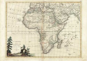
L'AFRIQUE / divisée en ses / EMPIRES, ROYAUMES, / ET RÉPUBLIQUES.
- Location
-
Deutsches Historisches Museum, Berlin
- Inventory number
-
Do 2006/223
- Measurements
-
Höhe x Breite: 104,7 x 118 cm (Blatt)
Höhe x Breite: 95,5 x 108,7 cm (Karte)
Höhe x Breite: 99 x 112,7 cm (Platte)
- Material/Technique
-
Papier, Kupferstich, grenzkoloriert
- Classification
-
Kartografie (Gattung)
- Subject (what)
-
Afrika
- Event
-
Herstellung
- (who)
-
Geograph, Kartograf, Verleger: Gilles Robert de Vaugondy
Stecher: E. Dussy
Verleger, Geograph: Charles-François Delamarche
Kupferstecher: J. Arrivet
- (where)
-
Paris, Frankreich
- (when)
-
um 1780
- Rights
-
Deutsches Historisches Museum
- Last update
-
24.03.2023, 9:27 AM CET
Data provider
This object is provided by:
Stiftung Deutsches Historisches Museum. If you have any questions about the object, please contact the data provider.
Stiftung Deutsches Historisches Museum. If you have any questions about the object, please contact the data provider.
Object type
- Kontinentalkarte
Associated
- Geograph, Kartograf, Verleger: Gilles Robert de Vaugondy
- Stecher: E. Dussy
- Verleger, Geograph: Charles-François Delamarche
- Kupferstecher: J. Arrivet
Time of origin
- um 1780
Other Objects (12)
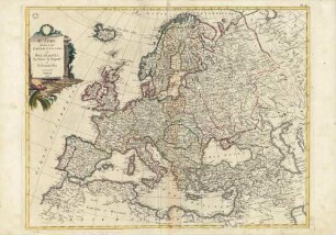
Europe divisèe en Ses Empires Royaumes et Republiques
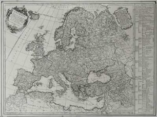
L'Europe divisée en ses Empires, Royaumes et Republiques
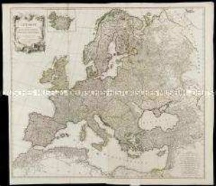
L'Europe divisée en ses Etats, Empires, Royaumes et Republiques
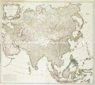
L'Asie divisée en ses Empires et Royaumes

L'Asie Divisée en ses Empires, Royaumes, et Estats
![L´Italie divisée en ses Differents Etats Royaumes et Republiques,[...]](https://iiif.deutsche-digitale-bibliothek.de/image/2/f92efe7b-9879-44a2-829d-b31e5d5dbddd/full/!306,450/0/default.jpg)
L´Italie divisée en ses Differents Etats Royaumes et Republiques,[...]
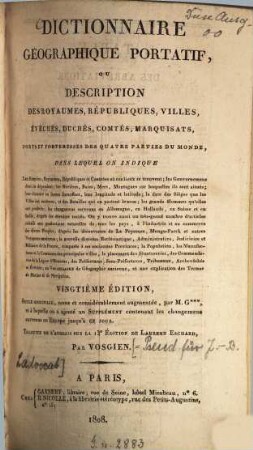
Dictionnaire géographique portatif : ou description des royaumes, républiques, villes ...
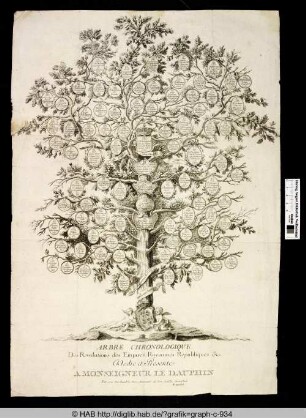
Arbre Chronologique Des Revolutions des Empires, Royaumes Republique & c.
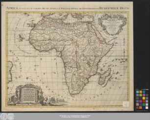
L' Afrique Diuisée en ses Empires, Royaumes, Et Estats
L' Afrique divisèe En Ses Principaux Etats Et Royaumes

L’Afrique divisée suivant l’estendrie de ses principales parties.

Du gouvernement et administration de divers estats, royaumes & republiques, tant anciennes que modernes
Europe divisèe en Ses Empires Royaumes et Republiques
L'Europe divisée en ses Empires, Royaumes et Republiques
L'Europe divisée en ses Etats, Empires, Royaumes et Republiques
L'Asie divisée en ses Empires et Royaumes
L'Asie Divisée en ses Empires, Royaumes, et Estats
L´Italie divisée en ses Differents Etats Royaumes et Republiques,[...]
Dictionnaire géographique portatif : ou description des royaumes, républiques, villes ...
Arbre Chronologique Des Revolutions des Empires, Royaumes Republique & c.
L' Afrique Diuisée en ses Empires, Royaumes, Et Estats
L' Afrique divisèe En Ses Principaux Etats Et Royaumes
L’Afrique divisée suivant l’estendrie de ses principales parties.