Verwaltungsgeschichtliche Karte
Orbis Romani Pars Occidentalis / Orbis Romani Pars Orientalis
- Alternative title
-
ORBIS ROMANI / PARS OCCIDENTALIS / AUSPICIIS / SERENISSIMI PRINCIPIS
- Location
-
Deutsches Historisches Museum, Berlin
- Inventory number
-
Do 2006/714.1-2
- Measurements
-
Höhe x Breite: 81,7 x 58,5 cm (Blatt 1)
Höhe x Breite: 66 x 53,3 cm (Karte 1)
Höhe x Breite: 69 x 56,4 cm (Platte 1)
Höhe x Breite: 79,7 x 58 cm (Blatt 2)
Höhe x Breite: 66 x 52,8 cm (Karte 2)
Höhe x Breite: 69 x 56,4 cm (Platte 2)
- Material/Technique
-
Papier, Kupferstich, grenzkoloriert
- Classification
-
Kartografie (Gattung)
- Subject (what)
-
Römisches Reich
Europa
Nordafrika
- Event
-
Herstellung
- (who)
-
Geograph, Kartograf: Jean Baptiste Bourguignon d' Anville
Stecher: Guillaume-Nicolas Delahaye
- (where)
-
Paris, Frankreich
- (when)
-
zwischen 1763 und 1764
- Rights
-
Deutsches Historisches Museum
- Last update
-
24.03.2023, 9:29 AM CET
Data provider
This object is provided by:
Stiftung Deutsches Historisches Museum. If you have any questions about the object, please contact the data provider.
Stiftung Deutsches Historisches Museum. If you have any questions about the object, please contact the data provider.
Object type
- Verwaltungsgeschichtliche Karte
Associated
- Geograph, Kartograf: Jean Baptiste Bourguignon d' Anville
- Stecher: Guillaume-Nicolas Delahaye
Time of origin
- zwischen 1763 und 1764
Other Objects (12)

Orbis Romanis pars ocidentalis, pars orientalis
Orbis Romanis pars ocidentalis, pars orientalis
II Orbis Romani Pars Occidentalis Hispania. Britania. Germania. Gallia utraque. Italia. Sicilia. Sardinia. Corsica. Vindelicia. Rhaetia. Noricum. Pannonia. Illyricum.

Inscriptiones Antiquae Totius Orbis Romani
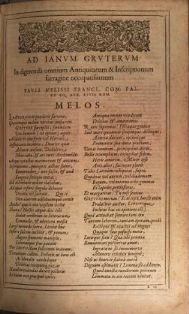
Inscriptiones antiquae totius orbis Romani
![[Orbis Politici Pars Prima]](https://iiif.deutsche-digitale-bibliothek.de/image/2/35d6b8a4-4c99-429e-ad8a-2da4535715ee/full/!306,450/0/default.jpg)
[Orbis Politici Pars Prima]
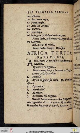
Africa tertia pars orbis

Orbis in Tabula Pars Secunda
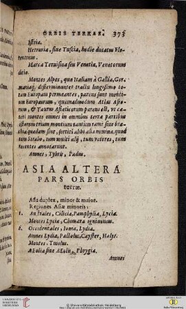
Asia Altera pars orbis terrae

Destructionem Imperii Romani occidentalis
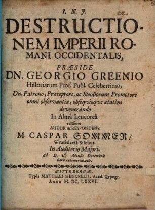
Destructionem imperii Romani occidentalis

Orbis Politici Pars Secunda, Complectens Principatus Et Dominia Orbis Terrarum
Orbis Romanis pars ocidentalis, pars orientalis
Orbis Romanis pars ocidentalis, pars orientalis
II Orbis Romani Pars Occidentalis Hispania. Britania. Germania. Gallia utraque. Italia. Sicilia. Sardinia. Corsica. Vindelicia. Rhaetia. Noricum. Pannonia. Illyricum.
Inscriptiones Antiquae Totius Orbis Romani
Inscriptiones antiquae totius orbis Romani
[Orbis Politici Pars Prima]
Africa tertia pars orbis
Orbis in Tabula Pars Secunda
Asia Altera pars orbis terrae
Destructionem Imperii Romani occidentalis
Destructionem imperii Romani occidentalis