Arbeitspapier
More roads or public transit? Insights from measuring city-center accessibility
We propose a theory-inspired measure of the accessibility of a city's center: the size of the surrounding area from which it can be reached within a specific time. Using publicly-available optimal routing software, we compute these "accessibility zones" for the 109 largest American and European cities, separately for cars and public transit commutes. Compared to European cities, US cities are half as accessible via public transit and twice as accessible via cars. Car accessibility zones are always larger than public transit zones, making US cities more accessible overall. However, US cities' car orientation comes at the cost of less green space, more congestion, and worse health and pollution externalities.
- Language
-
Englisch
- Bibliographic citation
-
Series: EGC Discussion Papers ; No. 1096
- Classification
-
Wirtschaft
- Subject
-
city traffic
commuting
local public transport
road traffic
local transport policy
Europe
USA
Stadtverkehr
Pendelverkehr
Öffentlicher Nahverkehr
Straßenverkehr
Kommunale Verkehrspolitik
Europa
USA
- Event
-
Geistige Schöpfung
- (who)
-
Conwell, Lucas
Eckert, Fabian
Mobarak, Ahmed Mushfiq
- Event
-
Veröffentlichung
- (who)
-
Yale University, Economic Growth Center
- (where)
-
New Haven, CT
- (when)
-
2022
- Handle
- Last update
-
10.03.2025, 11:43 AM CET
Data provider
ZBW - Deutsche Zentralbibliothek für Wirtschaftswissenschaften - Leibniz-Informationszentrum Wirtschaft. If you have any questions about the object, please contact the data provider.
Object type
- Arbeitspapier
Associated
- Conwell, Lucas
- Eckert, Fabian
- Mobarak, Ahmed Mushfiq
- Yale University, Economic Growth Center
Time of origin
- 2022
Other Objects (12)
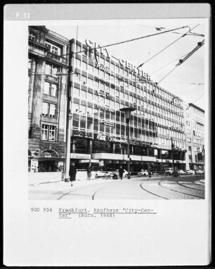
City-Center

Measuring accessibility: Methods and issues

City-Center, Innenleben
City-Center, Innenleben
City-Center, Innenleben
City-Center, Innenansicht
City-Center, 1984
Baustelle City-Center
Baustelle City-Center
City-Center, Innenansicht
Baustelle City-Center
City-Center 2000 -
City-Center
Measuring accessibility: Methods and issues
City-Center, Innenleben
City-Center, Innenleben
City-Center, Innenleben
City-Center, Innenansicht
City-Center, 1984
Baustelle City-Center
Baustelle City-Center
City-Center, Innenansicht
Baustelle City-Center
City-Center 2000 -
City-Center
Measuring accessibility: Methods and issues
City-Center, Innenleben
City-Center, Innenleben
City-Center, Innenleben
City-Center, Innenansicht
City-Center, 1984
Baustelle City-Center
Baustelle City-Center
City-Center, Innenansicht
Baustelle City-Center