- Alternative title
-
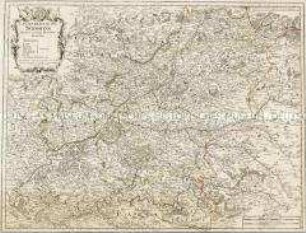
CARTE / DE LA GÉNÉRALITÉ / DE LIMOGES, / ET DES EVECHÉES
- Location
-
Deutsches Historisches Museum, Berlin
- Inventory number
-
Do 2006/144
- Measurements
-
Höhe x Breite: 58 x 79 cm (Blatt)
Höhe x Breite: 45,7 x 70 cm (Karte)
Höhe x Breite: 49,2 x 73,5 cm (Platte)
- Material/Technique
-
Druckfarbe, Papier, Kupferstich, grenzkoloriert
- Classification
-
Kartografie (Gattung)
- Subject (what)
-
Frankreich
Limousin
Limoges
- Event
-
Herstellung
- (who)
-
Geograph: Berhard-Antoine Jaillot?
Geograph, Kupferstecher: Louis Denis
Verleger: Paul-André Basset
- (where)
-
Paris, Frankreich
- (when)
-
1783
- Rights
-
Deutsches Historisches Museum
- Last update
-
24.03.2023, 9:28 AM CET
Data provider
This object is provided by:
Stiftung Deutsches Historisches Museum. If you have any questions about the object, please contact the data provider.
Stiftung Deutsches Historisches Museum. If you have any questions about the object, please contact the data provider.
Object type
- Kirchenkarte
Associated
- Geograph: Berhard-Antoine Jaillot?
- Geograph, Kupferstecher: Louis Denis
- Verleger: Paul-André Basset
Time of origin
- 1783
Other Objects (12)
Extrait du Memoire de la Generalité de Limoges.
La Generalité de Soissons

La generalité de Tours.
![X. Généralité de la Théorie précédente. [...]](https://iiif.deutsche-digitale-bibliothek.de/image/2/22e2a58c-792b-48f7-80d4-0764ee476a24/full/!306,450/0/default.jpg)
X. Généralité de la Théorie précédente. [...]
Etat Ecclesiastique de la Généralité de Paris.

Limoges. Avenue de la Gare

Limoges. Avenue de la Gare
Extrait du Memoire de la Generalité de la Rochelle.
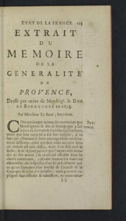
Extrait du Memoire de la Generalité de Provence

Extrait du Memoire de la Generalité de Paris.
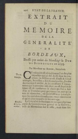
Extrait du Memoire de la Generalité de Bordeaux.
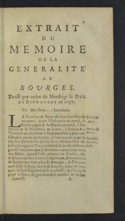
Extrait du Memoire de la Generalité de Bourges.
Extrait du Memoire de la Generalité de Limoges.
La Generalité de Soissons
La generalité de Tours.
X. Généralité de la Théorie précédente. [...]
Etat Ecclesiastique de la Généralité de Paris.
Limoges. Avenue de la Gare
Limoges. Avenue de la Gare
Extrait du Memoire de la Generalité de la Rochelle.
Extrait du Memoire de la Generalité de Provence
Extrait du Memoire de la Generalité de Paris.
Extrait du Memoire de la Generalité de Bordeaux.