- Alternative title
-
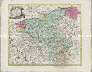
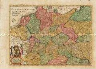
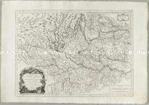
CARTE / GÉOGRAPHIQUE / DU COMTÉ / DE LIPPE
- Location
-
Deutsches Historisches Museum, Berlin
- Inventory number
-
Do 2006/627
- Measurements
-
Höhe x Breite: 59 x 73 cm (Blatt)
Höhe x Breite: 47,8 x 57,2 cm (Karte)
Höhe x Breite: 49,7 x 59 cm (Platte)
- Material/Technique
-
Papier, Kupferstich, koloriert
- Classification
-
Kartografie (Gattung)
- Subject (what)
-
Lippe
Nordrhein-Westfalen
- Event
-
Herstellung
- (who)
-
Stecher, Verleger, Geograph: Tobias Konrad Lotter
Stecher: Georg Friedrich Lotter
- (where)
-
Augsburg, Deutschland
- (when)
-
1762
- Rights
-
Deutsches Historisches Museum
- Last update
-
24.03.2023, 9:29 AM CET
Data provider
This object is provided by:
Stiftung Deutsches Historisches Museum. If you have any questions about the object, please contact the data provider.
Stiftung Deutsches Historisches Museum. If you have any questions about the object, please contact the data provider.
Object type
- Grenzkarte
Associated
- Stecher, Verleger, Geograph: Tobias Konrad Lotter
- Stecher: Georg Friedrich Lotter
Time of origin
- 1762
Other Objects (12)
Carte Geographique du Comté de la Marck
Carte réduite de la Carte Génerale d'Allemagne
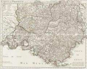
Carte de Provence
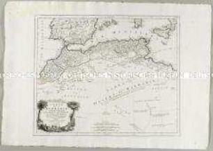
Carte de la Barbarie
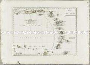
Atlas Nouveau: Carte des Antilles
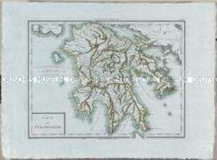
Atlas Nouveau: Carte du Péloponèse
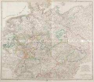
Carte von Ober u. Nieder Teutschland
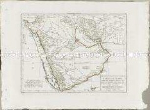
Atlas Nouveau: Carte de l'Arabie
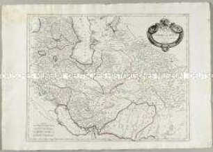
Carte de l'Empire de Perse
Nouvelle Carte de l'Etat de Milan. Mit einer Nebenkarte: Nouvelle Carte du Duché de Mantoue
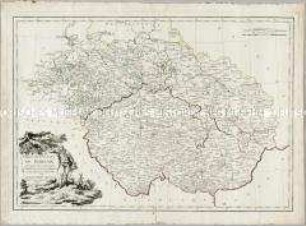
Carte des Etats de Boheme en général
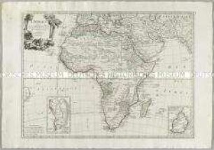
L'Afrique. Mit zwei Nebenkarten: Carte particuliere du Cap de Bonne Esperance; Carte particuliere de l'Isle de France
Carte Geographique du Comté de la Marck
Carte réduite de la Carte Génerale d'Allemagne
Carte de Provence
Carte de la Barbarie
Atlas Nouveau: Carte des Antilles
Atlas Nouveau: Carte du Péloponèse
Carte von Ober u. Nieder Teutschland
Atlas Nouveau: Carte de l'Arabie
Carte de l'Empire de Perse
Nouvelle Carte de l'Etat de Milan. Mit einer Nebenkarte: Nouvelle Carte du Duché de Mantoue
Carte des Etats de Boheme en général