Regionalkarte
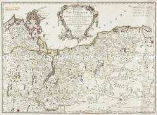
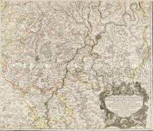
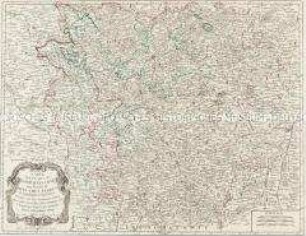
Grand Atlas, Bl. 7 (Pommern, Preussen) : Contenant une Partie du Duché de Pomeranie de Suedois et de Prusse.
- Alternative title
-
CARTE TOPOGRAPHIQUE D'ALLEMAGNE / Contenant une Partie du DUCHÉ de POMERANIE de SUEDOIS et de PRUSSE.
- Location
-
Deutsches Historisches Museum, Berlin
- Inventory number
-
Do 2006/1059.7
- Measurements
-
Höhe x Breite: 56,5 x 78 cm, Höhe: 56,5 cm, Breite: 78 cm, Tiefe: 3 cm (Atlas)
Höhe x Breite: 56,5 x 78 cm (Blatt)
Höhe x Breite: 52 x 68 cm (Platte)
Höhe x Breite: 46 x 59 cm (Karte)
- Material/Technique
-
Papier, Kupferstich, koloriert, gebunden |Fadenheftung
- Classification
-
Kartografie (Gattung)
- Subject (what)
-
Deutschland
- Event
-
Herstellung
- (who)
-
Verleger, Militärkartograph: Johann Wilhelm Abraham Jaeger
Stecher: Johann Christian Berndt
- (where)
-
Frankfurt (Main) [historisch: Frankfurt, Reichsstadt], Deutschland
- (when)
-
um 1782
- Rights
-
Deutsches Historisches Museum
- Last update
-
24.03.2023, 9:31 AM CET
Data provider
This object is provided by:
Stiftung Deutsches Historisches Museum. If you have any questions about the object, please contact the data provider.
Stiftung Deutsches Historisches Museum. If you have any questions about the object, please contact the data provider.
Object type
- Regionalkarte
Associated
- Verleger, Militärkartograph: Johann Wilhelm Abraham Jaeger
- Stecher: Johann Christian Berndt
Time of origin
- um 1782
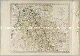
Other Objects (12)
Duché de Pomeranie
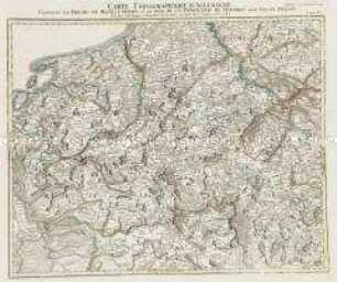
Grand Atlas, Bl. 6 (Mecklenburg, Pommern): Contenant Le Duche De Mecklenburg et une Partie De La Pomeranie De Suedois aussy bien De Prusse.
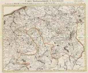
Grand Atlas , Bl. 8 (Pommern, Neumark) : Contenant le Duché de Pomeranie et ûne Partie de la Nouv. Marche.
Duché de Savoye
Le Duché de Luxembourg
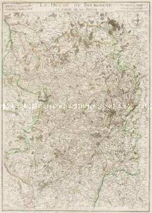
Le Duché de Bourgogne
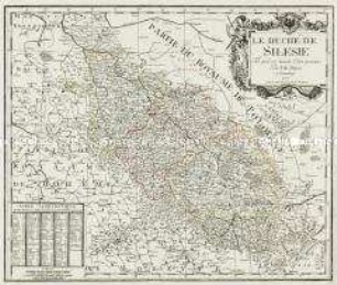
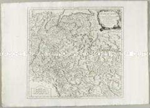
Le Duché De Silesie
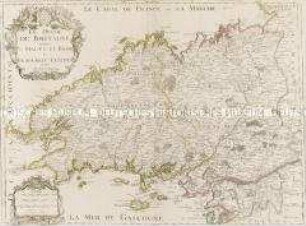
Le Duché de Bretagne
Carte des Duchés de Lorraine et Bar
Duchés de Bergue et Juliers Electorat de Cologne Gueldre et Comté de Meurs
Grand Atlas . Bl. 71 (Österreich, Steiermark): Contenant une Partie de l'Arche Duché d'Autrüche et du Duché de Stirie
Grand Atlas . Bl. 79 (Kärnten): Contenant le Duché de Carinthie Superieur et Inferieur et une Partie du Duché de Carniole
Duché de Pomeranie
Grand Atlas, Bl. 6 (Mecklenburg, Pommern): Contenant Le Duche De Mecklenburg et une Partie De La Pomeranie De Suedois aussy bien De Prusse.
Grand Atlas , Bl. 8 (Pommern, Neumark) : Contenant le Duché de Pomeranie et ûne Partie de la Nouv. Marche.
Duché de Savoye
Le Duché de Luxembourg
Le Duché de Bourgogne
Le Duché De Silesie
Le Duché de Bretagne
Carte des Duchés de Lorraine et Bar
Duchés de Bergue et Juliers Electorat de Cologne Gueldre et Comté de Meurs
Grand Atlas . Bl. 71 (Österreich, Steiermark): Contenant une Partie de l'Arche Duché d'Autrüche et du Duché de Stirie