- Alternative title
-
MAPA PARA LA / INTELIGENCIA DE LA ENTRADA DE / CYRO EL MENOR EN / ASIA;
Madrid
- Location
-
Deutsches Historisches Museum, Berlin
- Inventory number
-
Do 2006/717
- Measurements
-
Höhe x Breite: 44 x 62,5 cm (Blatt)
Höhe x Breite: 18,7 x 29 cm (Karte)
Höhe x Breite: 22,2 x 32,5 cm (Platte)
- Material/Technique
-
Papier, Kupferstich
- Classification
-
Kartografie (Gattung)
- Subject (what)
-
Türkei
Orient
Mittlerer Osten
Naher Osten
- Event
-
Herstellung
- (who)
-
Stecher, Geograph, Verleger: Tomás Lopéz y Vargas Machuca
- (where)
-
Madrid, Spanien
- (when)
-
1780
- Rights
-
Deutsches Historisches Museum
- Last update
-
24.03.2023, 9:31 AM CET
Data provider
This object is provided by:
Stiftung Deutsches Historisches Museum. If you have any questions about the object, please contact the data provider.
Stiftung Deutsches Historisches Museum. If you have any questions about the object, please contact the data provider.
Object type
- Historisch-Politische Karte
Associated
- Stecher, Geograph, Verleger: Tomás Lopéz y Vargas Machuca
Time of origin
- 1780
Other Objects (12)

Italia en el Asia Menor
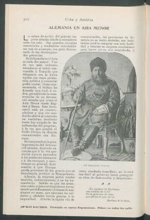
Alemania en Asia Menor.
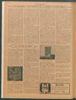
Las ruinas del Asía Menor
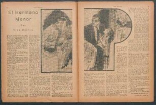
El hermano menor
El tono menor
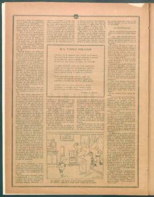
En tono menor

Mediterráneo oriental, norte de África, Ásia menor
El menor radio terrestre
El menor Roberto Rodríguez
Hans Holbein, el menor.
Balada en prosa menor
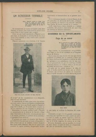
Evasiones en el departamento - Fuga de un menor
Italia en el Asia Menor
Alemania en Asia Menor.
Las ruinas del Asía Menor
El hermano menor
El tono menor
En tono menor
Mediterráneo oriental, norte de África, Ásia menor
El menor radio terrestre
El menor Roberto Rodríguez
Hans Holbein, el menor.
Balada en prosa menor