- Alternative title
-
KARTE / des / Königl. Preuss. Herzogthums / VOR. und HINTER.POMMERN / nach / Speziellen Vermessungen entworfen / von / D. Gilly.
- Location
-
Deutsches Historisches Museum, Berlin
- Inventory number
-
1988/1779 1-6
- Measurements
-
Höhe x Breite: 48,5 x 70 cm (Karte (je Sektion))
Höhe x Breite: 52,5 x 75 cm (Blatt (je Sektion))
- Material/Technique
-
Karte (je Sektion): Druckfarbe, Papier, Kupferstich
- Classification
-
Kartografie (Gattung)
- Subject (what)
-
Pommern
- Event
-
Herstellung
- (who)
-
Entwerfer: David Gilly
Kartograf: Sotzmann. Daniel Friedrich
- (where)
-
Berlin, Deutschland [historisch: Preußen, Königreich]
- (when)
-
1789
- Rights
-
Deutsches Historisches Museum
- Last update
-
24.03.2023, 9:31 AM CET
Data provider
This object is provided by:
Stiftung Deutsches Historisches Museum. If you have any questions about the object, please contact the data provider.
Stiftung Deutsches Historisches Museum. If you have any questions about the object, please contact the data provider.
Object type
- Regionalkarte
Associated
- Entwerfer: David Gilly
- Kartograf: Sotzmann. Daniel Friedrich
Time of origin
- 1789
Other Objects (12)

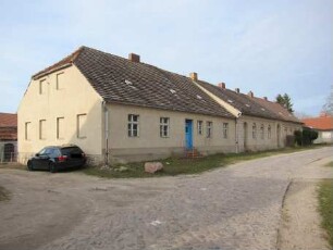
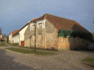
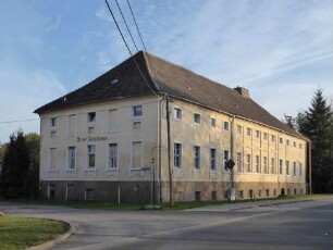
Paretz, Ketzin/Havel, Werderdammstraße 1
Steinhöfel
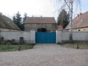
Paretz, Ketzin/Havel, Werderdammstraße 6 & 8
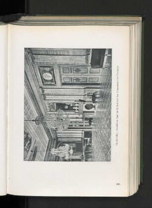
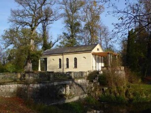
Getäfelter Saal im Schloß auf der Pfaueninsel bei Potsdam.
Paretz, Ketzin/Havel, Parkring 2, Werderdammstraße 1
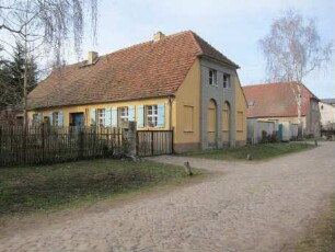
Paretz, Ketzin/Havel, Werderdammstraße 7
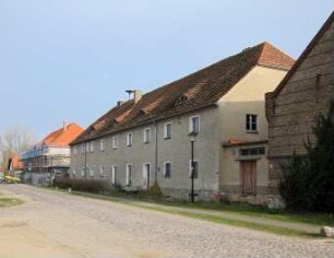
Paretz, Ketzin/Havel, Werderdammstraße 16 & 18
Paretz, Ketzin/Havel, Werderdammstraße 18
Paretz, Ketzin/Havel, Parkring 23 & 24
David Gilly (1748 - 1808) Architekt; Blücherplatz und Belle-Alliance-Straße (Kreuzberg)
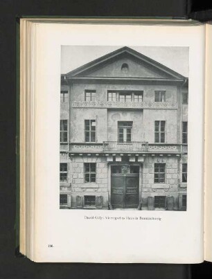
Viewegsches Haus in Braunschweig.
Steinhöfel, Alter Gutshof 2
Paretz, Ketzin/Havel, Werderdammstraße 1
Steinhöfel
Paretz, Ketzin/Havel, Werderdammstraße 6 & 8
Getäfelter Saal im Schloß auf der Pfaueninsel bei Potsdam.
Paretz, Ketzin/Havel, Parkring 2, Werderdammstraße 1
Paretz, Ketzin/Havel, Werderdammstraße 7
Paretz, Ketzin/Havel, Werderdammstraße 16 & 18
Paretz, Ketzin/Havel, Werderdammstraße 18
Paretz, Ketzin/Havel, Parkring 23 & 24
David Gilly (1748 - 1808) Architekt; Blücherplatz und Belle-Alliance-Straße (Kreuzberg)
Viewegsches Haus in Braunschweig.