Militärische Karte
Carte du Théatre de la Guerre entre les Anglais et les Americains
- Alternative title
-
CARTE / DU / THÉATRE de la GUERRE / ENTRE LES ANGLAIS ET
- Location
-
Deutsches Historisches Museum, Berlin
- Inventory number
-
Do 2006/780
- Measurements
-
Höhe x Breite: 80 x 55 cm (Blatt)
Höhe x Breite: 73,6 x 49,6 cm (Karte)
Höhe x Breite: 78,2 x 53,3 cm (Platte)
- Material/Technique
-
Papier, Kupferstich, grenzkoloriert
- Classification
-
Kartografie (Gattung)
- Subject (what)
-
Nordamerika
- Event
-
Herstellung
- (who)
-
Geograph, Kartograf: Louis Brion de la Tour (1756)
Verlag: Esnaults et Rapilly
- (where)
-
Paris, Frankreich
- (when)
-
1782
- Rights
-
Deutsches Historisches Museum
- Last update
-
24.03.2023, 9:30 AM CET
Data provider
This object is provided by:
Stiftung Deutsches Historisches Museum. If you have any questions about the object, please contact the data provider.
Stiftung Deutsches Historisches Museum. If you have any questions about the object, please contact the data provider.
Object type
- Militärische Karte
Associated
- Geograph, Kartograf: Louis Brion de la Tour (1756)
- Verlag: Esnaults et Rapilly
Time of origin
- 1782
Other Objects (12)

Les Américains comme Sauveurs

Les Américains de Paris
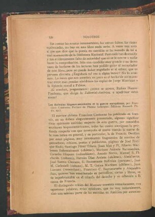
Les écrivains hispano-américains et la guerre européenne, por Fransico Contreras

Alzire, ou les Américains : tragédie
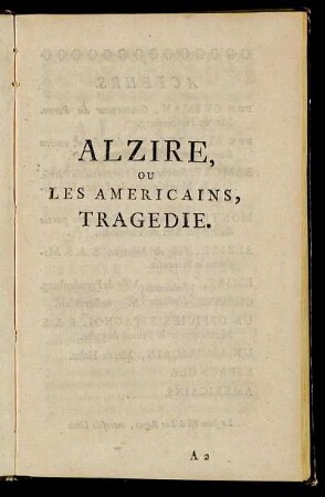
Alzire, Ou Les Americains, Tragedie.
![12: Les musées américains, [3]](https://iiif.deutsche-digitale-bibliothek.de/image/2/f9261876-533c-4661-9d74-c44f6b7ff8e0/full/!306,450/0/default.jpg)
12: Les musées américains, [3]
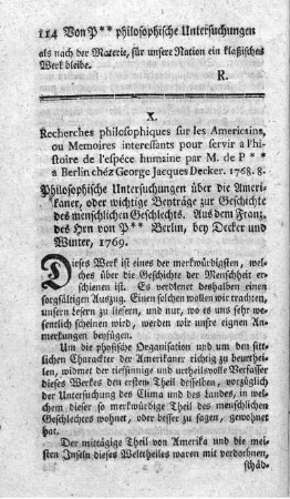
Recherches philosophiques sur les americains.
![12: Les musées américains, [2]](https://iiif.deutsche-digitale-bibliothek.de/image/2/d4f61064-2f79-4764-88a7-51c747028b60/full/!306,450/0/default.jpg)
12: Les musées américains, [2]
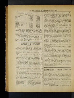
Les Américains A L'Étranger.

Alzire, ou les Americains : Tragédie

Alzire, ou les Américains : tragédie
![12: Les musées américains, [1]](https://iiif.deutsche-digitale-bibliothek.de/image/2/4978ce01-7703-4a78-a7a1-b1ea2e0b84e2/full/!306,450/0/default.jpg)
12: Les musées américains, [1]
Les Américains comme Sauveurs
Les Américains de Paris
Les écrivains hispano-américains et la guerre européenne, por Fransico Contreras
Alzire, ou les Américains : tragédie
Alzire, Ou Les Americains, Tragedie.
12: Les musées américains, [3]
Recherches philosophiques sur les americains.
12: Les musées américains, [2]
Les Américains A L'Étranger.
Alzire, ou les Americains : Tragédie
Alzire, ou les Américains : tragédie