
- Alternative title
-
Karte zur Palästina-Fahrt des deutschen Kaisers
- Location
-
Forschungsbibliothek Gotha -- KART SPA C 00001
- Extent
-
1 gef. Kt, 78 x 56 cm
- Language
-
Deutsch
- Notes
-
Nullmeridian: Greenwich. - Maßstab in graph. Form (Kilometer). - Mit 9 Nebenkt.: Jerusalem im Maßstab 1:20.000, Jerusalem und Umgegend im Maßstab 1:150.000, Kairo und Umgebung im Maßstab 1:150.000. Alexandria und Umgebung im Maßstab 1:150.000, Fortsetzung des Nilthals im Maßstab 1:10.000.000, Palästina im Maßstab 1:1.200.000, Constantinopel im Maßstab 1:150.000, Landungsplatz des deutschen Kaisers in Palästina im Maßstab 1:50.000 Karte zur Palästina-Fahrt des deutschen Kaisers Sammlung Perthes
- Contributor
- Published
-
Gotha : Justus Perthes , 1898
- Sponsorship
-
Thüringen
- URN
-
urn:nbn:de:urmel-4b5d3aca-2663-457c-a52c-bbbabcfa43869-00011565-12
- PURL
- Last update
-
14.04.2025, 12:54 PM CEST
Data provider
This object is provided by:
Forschungsbibliothek Gotha der Universität Erfurt. If you have any questions about the object, please contact the data provider.
Forschungsbibliothek Gotha der Universität Erfurt. If you have any questions about the object, please contact the data provider.
Object type
- Karte
Time of origin
- Gotha : Justus Perthes , 1898
Other Objects (12)
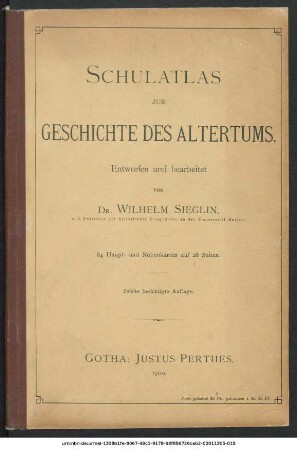
Schulatlas zur Geschichte des Altertums : 64 Haupt- und Nebenkarten auf 28 Seiten
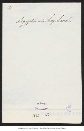
Aegypten und Sues-Canal
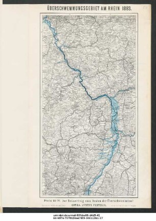
Überschwemmungsgebiet am Rhein 1883

Karte des Thüringer Waldes um Tabarz

Deutscher Schulatlas : Mittelstufe, 71 Karten und 7 Bilder auf 42 Seiten

E. von Sydows Schul-Atlas : in zweiundvierzig Karten
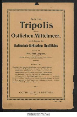
Tripolis und das östliche Mittelmeer, der Schauplatz des italienisch-türkischen Konfliktes
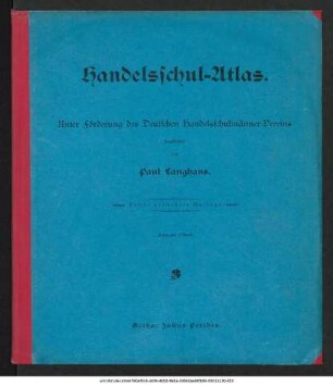
Handelsschul-Atlas
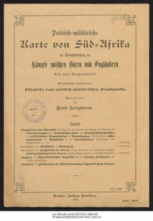
Politisch-militärische Karte von Süd-Afrika : zur Veranschaulichung der Kämpfe zwischen Buren und Engländern bis zur Gegenwart
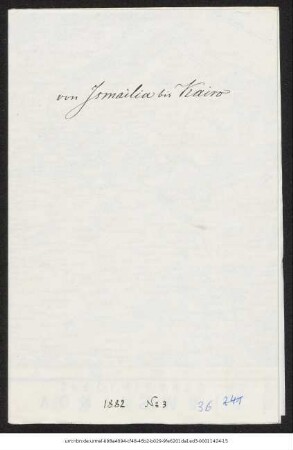
Von Ismaîlîa bis Cairo : Specialkarte des Kriegsschauplatzes
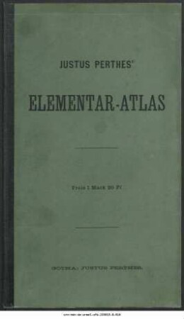
Justus Perthes' Elementar-Atlas : für Schulen des Deutschen Reichs
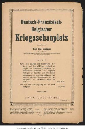
Deutsch-Französisch-Belgischer Kriegsschauplatz : Auf Grundlage von Karten aus Stielers Handatlas
Schulatlas zur Geschichte des Altertums : 64 Haupt- und Nebenkarten auf 28 Seiten
Aegypten und Sues-Canal
Überschwemmungsgebiet am Rhein 1883
Karte des Thüringer Waldes um Tabarz
Deutscher Schulatlas : Mittelstufe, 71 Karten und 7 Bilder auf 42 Seiten
E. von Sydows Schul-Atlas : in zweiundvierzig Karten
Tripolis und das östliche Mittelmeer, der Schauplatz des italienisch-türkischen Konfliktes
Handelsschul-Atlas
Politisch-militärische Karte von Süd-Afrika : zur Veranschaulichung der Kämpfe zwischen Buren und Engländern bis zur Gegenwart
Von Ismaîlîa bis Cairo : Specialkarte des Kriegsschauplatzes
Justus Perthes' Elementar-Atlas : für Schulen des Deutschen Reichs