Archivale
Bebauungsplanentwurf Kaulsdorf Überführung am Bhf. Kaulsdorf mit Umgebung
Darin: Berlin-Lichtenberg, Hochbauamt (Städtebau).
Enthält: Kartenbild begrenzt von Schmidtstraße (Norden), Hosemannstraße (Südost), Alt-Kaulsdorf (Süden) und Dorfstraße (Südwest) mit Darstellung der bestehenden Bebauung und Straßen sowie Nachweis der geplanten Überführung westlich vom S-Bahnhof Kaulsdorf.
Handzeichnung auf Transparentpapier
- Reference number
-
F Rep. 270 Nr. 12823
- Extent
-
1 : 2 000
- Notes
-
Ü-Format
- Further information
-
Format: 90,5 x 90,5 cm
- Context
-
F Rep. 270 Allgemeine Kartensammlung >> 06. Kaulsdorf
- Holding
-
F Rep. 270 Allgemeine Kartensammlung
- Date of creation
-
1935
- Other object pages
- Rights
-
Für nähere Informationen zu Nutzungs- und Verwertungsrechten kontaktieren Sie bitte info@landesarchiv.berlin.de.
- Last update
-
22.08.2025, 11:57 AM CEST
Data provider
This object is provided by:
Landesarchiv Berlin. If you have any questions about the object, please contact the data provider.
Landesarchiv Berlin. If you have any questions about the object, please contact the data provider.
Object type
- Archivale
Time of origin
- 1935
Other Objects (12)

Bebauungsplanentwurf Kaulsdorf_Überführung am Bahnhof Kaulsdorf mit Umgegend
Bebauungsplanentwurf Kaulsdorf
Kaulsdorf; Gutspark Kaulsdorf
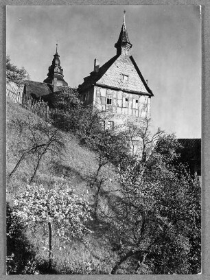
Schloss Kaulsdorf in Kaulsdorf
Kaulsdorf; Station Kaulsdorf; Bahnhof
Kaulsdorf; Straße Alt-Kaulsdorf
Kaulsdorf; Station Kaulsdorf; Stationsgebäude
Kaulsdorf; Station Kaulsdorf; Bahnsteige
Kaulsdorf; Straße Alt-Kaulsdorf
Kaulsdorf; Straße Alt-Kaulsdorf
Kaulsdorf; Straße Alt-Kaulsdorf
Alt-Kaulsdorf 23 (Hellersdorf/Kaulsdorf)
Bebauungsplanentwurf Kaulsdorf_Überführung am Bahnhof Kaulsdorf mit Umgegend
Bebauungsplanentwurf Kaulsdorf
Kaulsdorf; Gutspark Kaulsdorf
Schloss Kaulsdorf in Kaulsdorf
Kaulsdorf; Station Kaulsdorf; Bahnhof
Kaulsdorf; Straße Alt-Kaulsdorf
Kaulsdorf; Station Kaulsdorf; Stationsgebäude
Kaulsdorf; Station Kaulsdorf; Bahnsteige
Kaulsdorf; Straße Alt-Kaulsdorf
Kaulsdorf; Straße Alt-Kaulsdorf
Kaulsdorf; Straße Alt-Kaulsdorf