Grafik
Mautkarte Bayerns
Rocaille-Kartusche mit bayerischen Wappen und Stadansicht, Inschrift: Geographische Mauth-Charte von Bayern / Vorstellend: alle zu Wasser und zu Land hergebrachte Mauth=Stationen ... entworfen Anno 17564. Linke Spalte mit Namen der "Mauth= und Accis=Ämter"; signiert: Joh. Farnz Kohlbrenner del. / Tobias Conrad Lotter, Geogr. Sculps: Aug: Vind:
- Location
-
Universitätsbibliothek Heidelberg
- Collection
-
UB Graphische Sammlung
- Inventory number
-
Graph. Slg. A_0445
- Other number(s)
-
Graph. Slg. VII 24 (Alte Inventarnummer)
- Measurements
-
B 26 cm, H 29,3 cm, Bild
B 27 cm, H 30,6 cm, Platte
B 34,5 cm, H 43 cm, Blatt
ca. 33 x 44 cm, Passepartout
- Material/Technique
-
Papier; Kupferstich
- Related object and literature
- Classification
-
Kasten 78 (Lokale Systematik)
- Subject (what)
-
Wegezoll
Karte
Straßenbenutzungsgebühr
Vedute
- Subject (where)
-
Bayern
- Event
-
Herstellung
- (when)
-
1746
- Event
-
Provenienz
- (description)
-
Batt'sche Sammlung
- Last update
-
05.03.2025, 4:23 PM CET
Data provider
This object is provided by:
Ruprecht-Karls-Universität Heidelberg. Universitätsbibliothek. If you have any questions about the object, please contact the data provider.
Ruprecht-Karls-Universität Heidelberg. Universitätsbibliothek. If you have any questions about the object, please contact the data provider.
Object type
- Grafik
Time of origin
- 1746
Other Objects (12)
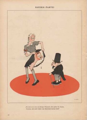
"Bayern Partei"
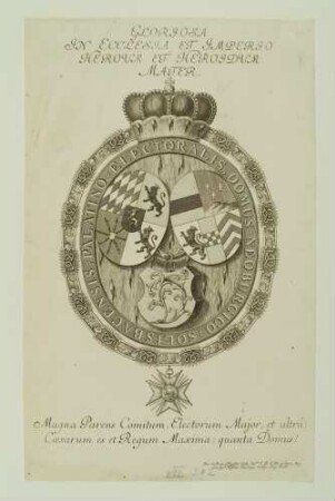
Wappen Pfalz-Bayern
"Sachsen in Bayern"
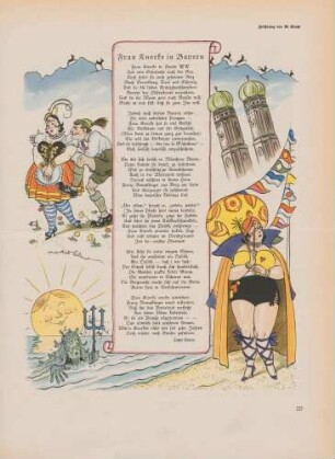
"Frau Knorke in Bayern"
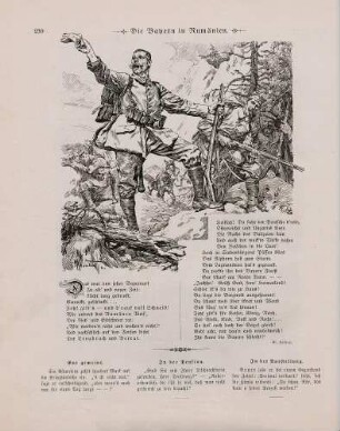
"Die Bayern in Rumänien"

Herzog Ferdinand von Bayern
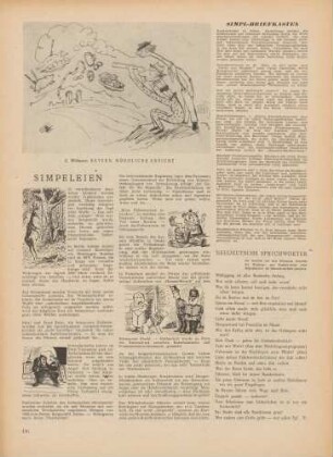
"Bayern. Nördliche Ansicht" "Simpeleien"

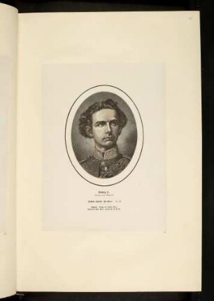
Ludwig II. König von Bayern
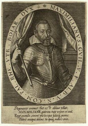
Kurfürst Maximilian I. von Bayern
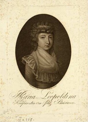
Kurfürstin Marie Leopoldine von Bayern
Ludwig II., König von Bayern
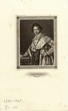
König Ludwig I. von Bayern
"Bayern Partei"
Wappen Pfalz-Bayern
"Sachsen in Bayern"
"Frau Knorke in Bayern"
"Die Bayern in Rumänien"
Herzog Ferdinand von Bayern
"Bayern. Nördliche Ansicht" "Simpeleien"
Ludwig II. König von Bayern
Kurfürst Maximilian I. von Bayern
Kurfürstin Marie Leopoldine von Bayern
Ludwig II., König von Bayern