Karte
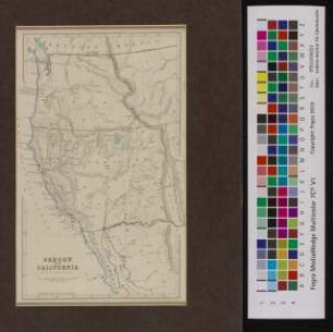
Map of Oregon Upper & Lower California, with part of British-America, the United States and Mexico.

- Language
-
Englisch
- Bibliographic citation
-
Gilliam, Albert M.. - Travels over the table lands and cordilleras of Mexico : during the years 1843 and 44 ; including a description of California, the principal cities and mining districts of that republic, and the biographies of Iturbide and Santa Anna
- Published
-
1846
- Last update
-
09.04.2025, 1:30 PM CEST
Data provider
This object is provided by:
Staats- und Universitätsbibliothek Hamburg Carl von Ossietzky. If you have any questions about the object, please contact the data provider.
Staats- und Universitätsbibliothek Hamburg Carl von Ossietzky. If you have any questions about the object, please contact the data provider.
Object type
- Karte
Time of origin
- 1846
Other Objects (12)
Oregon and California
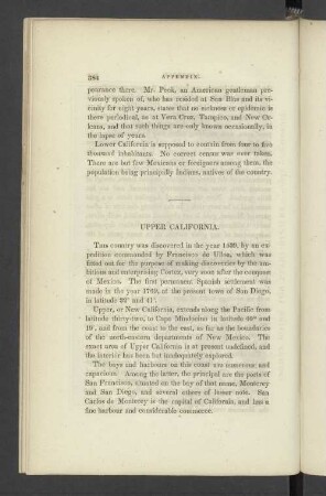
Upper California.

USA Westküste : California, Oregon, Washington

Chapter XV. Oregon and California.
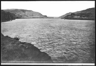
Oregon. Upper Columbia River
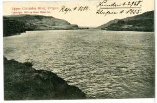
Oregon. Upper Columbia River
California, Oregon, Vancouver, Washington territory, etc.

Califórnia e México
Northern California, Oregon, and the Sandwich Islands
New Mexico and California
USA - der ganze Westen : Arizona, California, Colorado, Idaho, Montana, Nevada, New Mexico, Oregon, utah, Washington State, Wyoming
USA, der ganze Westen : Arizona, California, Colorado, Idaho, Montana, Nevada, New Mexico, Oregon, Utah, Washington State, Wyoming
Oregon and California
Upper California.
USA Westküste : California, Oregon, Washington
Chapter XV. Oregon and California.
Oregon. Upper Columbia River
Oregon. Upper Columbia River
California, Oregon, Vancouver, Washington territory, etc.
Califórnia e México
Northern California, Oregon, and the Sandwich Islands
New Mexico and California
USA - der ganze Westen : Arizona, California, Colorado, Idaho, Montana, Nevada, New Mexico, Oregon, utah, Washington State, Wyoming