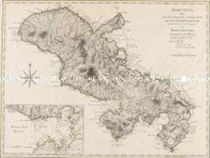
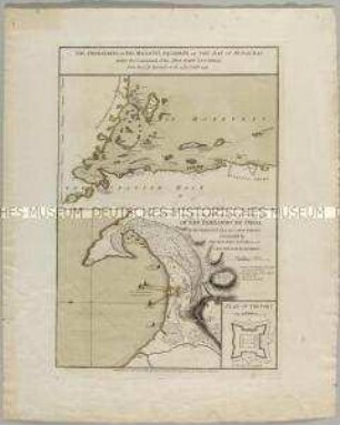
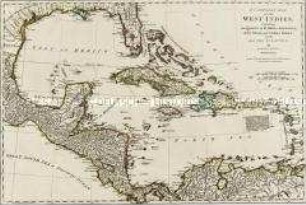
Küstenkarte
Curaçao. Mit vier Profilen/ Küstenansichten und einer Nebenkarte: Plan of Fort Amsterdam
- Alternative title
-
CURAÇAO, / FROM / THE DUTCH ORIGINALS. / OF
- Location
-
Deutsches Historisches Museum, Berlin
- Inventory number
-
Do 2006/16
- Measurements
-
Höhe x Breite: 58,5 x 78,5 cm (Blatt)
Höhe x Breite: 44,5 x 59,5 cm (Karte)
Höhe x Breite: 49 x 63, 5 cm (Platte)
- Material/Technique
-
Druckfarbe, Papier, Kupferstich
- Classification
-
Kartografie (Gattung)
- Subject (what)
-
Westindische Inseln
- Event
-
Herstellung
- (who)
-
Kartograf, Kupferstecher: Gerard van Keulen
Drucker, Verleger: Robert Sayer
- (where)
-
London, Großbritannien und Nordirland
- (when)
-
1775
- Rights
-
Deutsches Historisches Museum
- Last update
-
24.03.2023, 9:28 AM CET
Data provider
This object is provided by:
Stiftung Deutsches Historisches Museum. If you have any questions about the object, please contact the data provider.
Stiftung Deutsches Historisches Museum. If you have any questions about the object, please contact the data provider.
Object type
- Küstenkarte
Associated
- Kartograf, Kupferstecher: Gerard van Keulen
- Drucker, Verleger: Robert Sayer
Time of origin
- 1775
Other Objects (12)
Martinico. Mit einer Nebenkarte: Cul de Sac Royal
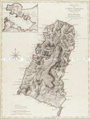
St. Lucia. Mit einer Nebenkarte: Plan of the Carenage

Hochzeitslager
London, Hanover Square - aus einer Folge
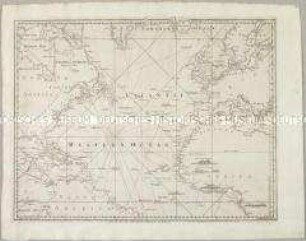
A Chart of the Atlantic Ocean I. Sheet. Mit vier Ansichten
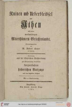
Ruinen und Ueberbleibsel von Athen nebst andern merkwuerdigen Alterthuemern Griechenlands
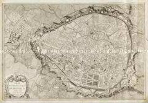
Plan routier de la Ville de Bruxelles
The operations of his Majesty's Squadron in the bay of Honduras / The attack and escalade on the 20th of October 1779 of San Fernando de Omoa. Mit einer Nebenkarte: Plan of the Fort

The Russian discoveries

Bildnis der Helena Forman
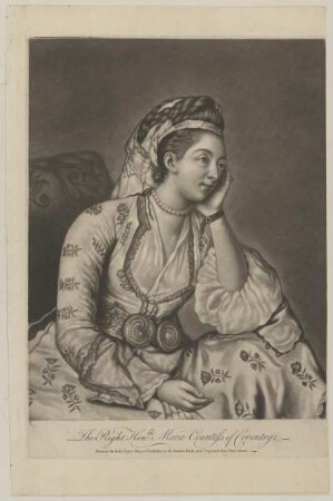
Bildnis der Maria Coventry
A compleat map of the West Indies
Martinico. Mit einer Nebenkarte: Cul de Sac Royal
St. Lucia. Mit einer Nebenkarte: Plan of the Carenage
Hochzeitslager
London, Hanover Square - aus einer Folge
A Chart of the Atlantic Ocean I. Sheet. Mit vier Ansichten
Ruinen und Ueberbleibsel von Athen nebst andern merkwuerdigen Alterthuemern Griechenlands
Plan routier de la Ville de Bruxelles
The operations of his Majesty's Squadron in the bay of Honduras / The attack and escalade on the 20th of October 1779 of San Fernando de Omoa. Mit einer Nebenkarte: Plan of the Fort
The Russian discoveries
Bildnis der Helena Forman
Bildnis der Maria Coventry