Karte
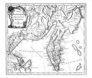
A map of Kurilski Islands engraved from the russian map by Tho. Jefferys

- Umfang
-
1 page
- Sprache
-
Englisch
- Erschienen in
-
The history of Kamtschatka and the Kurilski Islands with the countries adjacent; ; Illustrated with maps and cuts. Published at Petersbourg in the Russian language by order of her Imperial Majesty and translate
- Erschienen
-
1764
- Letzte Aktualisierung
-
26.05.2025, 15:57 MESZ
Datenpartner
Dieses Objekt wird bereitgestellt von:
Niedersächsische Staats- und Universitätsbibliothek Göttingen. Bei Fragen zum Objekt wenden Sie sich bitte an den Datenpartner.
Niedersächsische Staats- und Universitätsbibliothek Göttingen. Bei Fragen zum Objekt wenden Sie sich bitte an den Datenpartner.
Objekttyp
- Karte
Entstanden
- 1764
Ähnliche Objekte (12)
A map of Kamtschatka engraved from the russian map by Tho. Jefferys
Máldive Islands (Map)

Index map Philippine Islands

General map of the Russian Empire
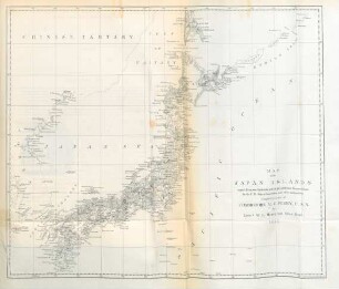
Map of the Japan Islands
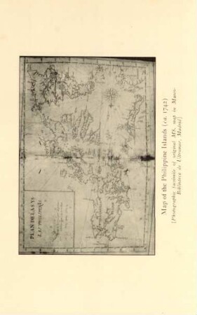
Map of the Philippine Islands
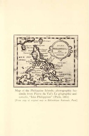
Map of the Philippine Islands ...
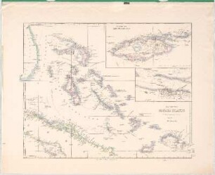
Map Of The Bahama Islands
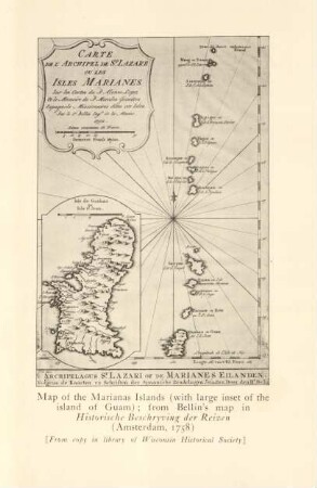
Map of the Marianas Islands ...
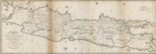
Map of the Island of Java
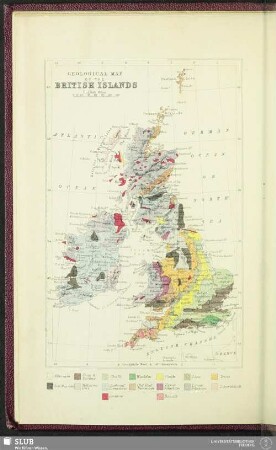
Geological Map Of The British Islands
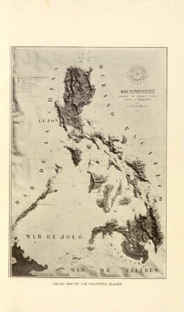
Relief map of the Philippine Islands
A map of Kamtschatka engraved from the russian map by Tho. Jefferys
Máldive Islands (Map)
Index map Philippine Islands
General map of the Russian Empire
Map of the Japan Islands
Map of the Philippine Islands
Map of the Philippine Islands ...
Map Of The Bahama Islands
Map of the Marianas Islands ...
Map of the Island of Java
Geological Map Of The British Islands