- Alternative title
-
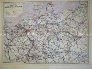
Flemmings Straßen- und Eisenbahnverkehrskarte von Nordwestdeutschland
- Location
-
Deutsches Historisches Museum, Berlin
- Inventory number
-
Do2 2016/2047
- Measurements
-
Höhe x Breite: 59,4 x 60,6 cm
- Material/Technique
-
Papier, gedruckt
- Classification
-
Kartografie (Gattung)
- Subject (what)
-
Eisenbahn
Infrastruktur
- Event
-
Herstellung
- (who)
-
Kartograf: H. Weber
Verlag: Carl Flemming Verlag
- (where)
-
Hamburg, Deutschland [historisch: Deutschland, Britische Besatzungszone]
- (when)
-
1948
- Rights
-
Deutsches Historisches Museum
- Last update
- 24.03.2023, 9:30 AM CET
Data provider
This object is provided by:
Stiftung Deutsches Historisches Museum. If you have any questions about the object, please contact the data provider.
Stiftung Deutsches Historisches Museum. If you have any questions about the object, please contact the data provider.
Object type
- Verkehrskarte
Associated
- Kartograf: H. Weber
- Verlag: Carl Flemming Verlag
Time of origin
- 1948
Other Objects (12)

Verkehrskarte von Deutschland
Verkehrskarte der Bundesrepublik Deutschland
Verkehrskarte von Gesamt-Deutschland
Verkehrskarte von Deutschland und Mitteleuropa
Verkehrskarte von Deutschland und Österreich
Verkehrskarte des Deutschen Automobilclubs von Deutschland
Verkehrskarte des Deutschen Automobilclubs von Deutschland
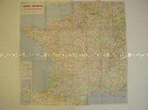
Französische Verkehrskarte
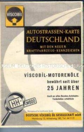
Verkehrskarte von Deutschland mit den Kraftfahrzeug-Kennzeichen
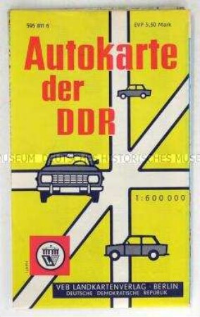
Verkehrskarte der DDR
Verkehrskarte der DDR
Verkehrskarte der DDR
Verkehrskarte von Deutschland
Verkehrskarte der Bundesrepublik Deutschland
Verkehrskarte von Gesamt-Deutschland
Verkehrskarte von Deutschland und Mitteleuropa
Verkehrskarte von Deutschland und Österreich
Verkehrskarte des Deutschen Automobilclubs von Deutschland
Verkehrskarte des Deutschen Automobilclubs von Deutschland
Französische Verkehrskarte
Verkehrskarte von Deutschland mit den Kraftfahrzeug-Kennzeichen
Verkehrskarte der DDR
Verkehrskarte der DDR
Verkehrskarte der DDR
Verkehrskarte von Deutschland
Verkehrskarte der Bundesrepublik Deutschland
Verkehrskarte von Gesamt-Deutschland
Verkehrskarte von Deutschland und Mitteleuropa
Verkehrskarte von Deutschland und Österreich
Verkehrskarte des Deutschen Automobilclubs von Deutschland
Verkehrskarte des Deutschen Automobilclubs von Deutschland
Französische Verkehrskarte
Verkehrskarte von Deutschland mit den Kraftfahrzeug-Kennzeichen
Verkehrskarte der DDR
Verkehrskarte der DDR