- Alternative title
-
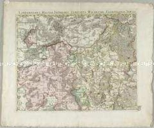
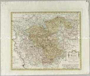
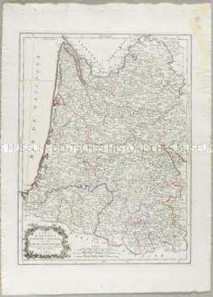
COMITATS BURGUNDIAE / tam in / PRIMARIAS EJUS PRAEFECTURAS / quàm in
- Location
-
Deutsches Historisches Museum, Berlin
- Inventory number
-
Do 2010/157
- Measurements
-
Höhe x Breite: 60,5 x 51,5 cm (Blatt)
Höhe x Breite: 55 x 46,5 cm (Karte)
Höhe x Breite: 59,3 x 49,5 cm (Platte)
- Material/Technique
-
Papier, Kupferstich, koloriert
- Classification
-
Kartografie (Gattung)
- Subject (what)
-
Burgund
Frankreich
- Event
-
Herstellung
- (who)
-
Verleger, Kupferstecher, Geograph, Kartograf: Johann Baptist Homann
- (where)
-
Nürnberg, Deutschland [historisch: Heiliges Römisches Reich]
- (when)
-
um 1710
- Rights
-
Deutsches Historisches Museum
- Last update
- 24.03.2023, 9:29 AM CET
Data provider
This object is provided by:
Stiftung Deutsches Historisches Museum. If you have any questions about the object, please contact the data provider.
Stiftung Deutsches Historisches Museum. If you have any questions about the object, please contact the data provider.
Object type
- Verwaltungskarte
Associated
- Verleger, Kupferstecher, Geograph, Kartograf: Johann Baptist Homann
Time of origin
- um 1710
Other Objects (12)
Landgraviatus Hassiae Inferioris Comitatus Waldeciae Eichsfeldiae Tabula Geographica. Mit einer Anschlusskarte: Rest des Waldeckischen
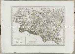
Atlas Nouveau: Gouvernement de Bearn
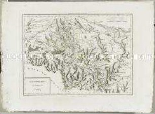
Atlas Nouveau: Gouvernement du Comté de Foix

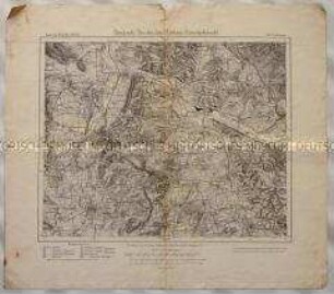
Topographische Karte der Gegend östlich von Emmendingen zwischen Dörlinbach, Prechtal, Elzach, Triberg, Furtwangen, St. Peter und Freiburg im Breisgau, heute Südlicher Oberrhein und Regierungsbezirk Freiburg
Topographische Karte des Elbetals und Umgebung nordwestlich von Dresden in Sachsen
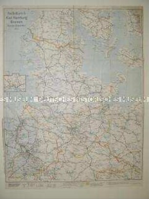
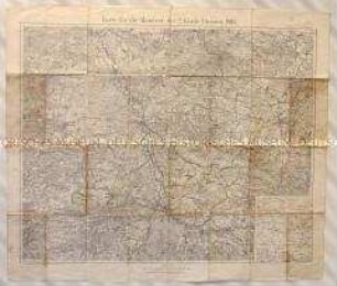
Administrative Karte von Norddeutschland mit den Postleitgebieten
Charte von der Grafschaft Mark
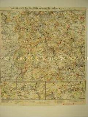
Verwaltungskarte mit den Postleitgebieten Aachen, Köln, Koblenz, Frankfurt/Main
Topographische Karte der Gegend um Wesel und Issum in Nordrhein-Westfalen
Topographische Karte des Gebiets zwischen Bobersberg, Deutsch-Wartenberg, Sprottau und Sagen in der Provinz Schlesien für ein Manöver der 2. Garde-Division der Preußischen Armee
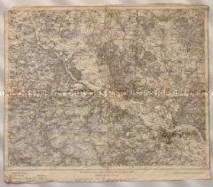
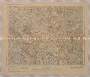
Topographische Karte von Südniedersachsen zwischen Osterode, Duderstadt, Göttingen und Northeim
Carte du Gouvernement de Guyenne et Gascogne
Landgraviatus Hassiae Inferioris Comitatus Waldeciae Eichsfeldiae Tabula Geographica. Mit einer Anschlusskarte: Rest des Waldeckischen
Atlas Nouveau: Gouvernement de Bearn
Atlas Nouveau: Gouvernement du Comté de Foix
Topographische Karte der Gegend östlich von Emmendingen zwischen Dörlinbach, Prechtal, Elzach, Triberg, Furtwangen, St. Peter und Freiburg im Breisgau, heute Südlicher Oberrhein und Regierungsbezirk Freiburg
Topographische Karte des Elbetals und Umgebung nordwestlich von Dresden in Sachsen
Administrative Karte von Norddeutschland mit den Postleitgebieten
Charte von der Grafschaft Mark
Verwaltungskarte mit den Postleitgebieten Aachen, Köln, Koblenz, Frankfurt/Main
Topographische Karte der Gegend um Wesel und Issum in Nordrhein-Westfalen
Topographische Karte des Gebiets zwischen Bobersberg, Deutsch-Wartenberg, Sprottau und Sagen in der Provinz Schlesien für ein Manöver der 2. Garde-Division der Preußischen Armee
Topographische Karte von Südniedersachsen zwischen Osterode, Duderstadt, Göttingen und Northeim