Karte / Plan
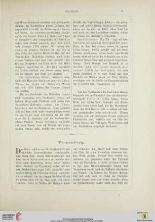
Vinnenberg (Warendorf) Grundstücke und Lage des Klosters (Hauptkarte) um 1820 o.M. 52 x 73 kol. Zeichnung KSM Nr. 675
- Former reference number
-
Kartensammlung Münster 675
- Further information
-
Ort: Vinnenberg, Warendorf
- Context
-
Karten A (Allgemein) >> 2. Land- und Forstwirtschaft >> 2.1. Ländereien >> 2.1.2. L-Z
- Holding
-
W 051 Karten A (Allgemein)
- Indexbegriff subject
-
Lageplan, Kloster Vinnenberg, 1820
- Indexentry place
-
Vinnenberg, Warendorf
Kloster Vinnenberg, Ländereien/Lageplan, 1820
Vinnenberg, Kloster, Ländereien/Lageplan, 1820
- Date of creation
-
1820
- Other object pages
- Provenance
-
Sammlungsregistraturbildner
- Delivered via
- Last update
- 05.11.2025, 4:17 PM CET
Data provider
This object is provided by:
Landesarchiv Nordrhein-Westfalen. Abteilung Westfalen. If you have any questions about the object, please contact the data provider.
Landesarchiv Nordrhein-Westfalen. Abteilung Westfalen. If you have any questions about the object, please contact the data provider.
Object type
- Karten / Pläne
Time of origin
- 1820
Other Objects (12)

Brennstoff-Hauptkarte
Sechtem (Hauptkarte)

Vinnenberg (Warendorf) Grundstücke der Domäne mit Vermeßregister (1823) 1824 200 Ruten = 12,3 cm 61 x 67 kol. Zeichnung, reduziert nach der Hauptkarte Richter, Geometer KSM Nr. 686
Gemarkung Lichterfelder. Hauptkarte Ankaufsflächen (Forst?)

Verzeichnis der Sprachgrenzlinien zur Hauptkarte.
Holpe, Hauptkarte der Gemeinde (Kopie)
Morsbach, Hauptkarte der Gemeinde (Kopie)
Pharus Olympia-Plan Berlin [Titel Hauptkarte]

Hauptkarte zu Kriegspostkarten-Serien, St. Michael
Pharus Olympia-Plan Berlin [Titel Hauptkarte]

Vinnenberg (Warendorf) Vermessungsregister der Domäne 1823 Richter, Geometer KSM Nr. 684
Vinnenberg
Brennstoff-Hauptkarte
Sechtem (Hauptkarte)
Vinnenberg (Warendorf) Grundstücke der Domäne mit Vermeßregister (1823) 1824 200 Ruten = 12,3 cm 61 x 67 kol. Zeichnung, reduziert nach der Hauptkarte Richter, Geometer KSM Nr. 686
Gemarkung Lichterfelder. Hauptkarte Ankaufsflächen (Forst?)
Verzeichnis der Sprachgrenzlinien zur Hauptkarte.
Holpe, Hauptkarte der Gemeinde (Kopie)
Morsbach, Hauptkarte der Gemeinde (Kopie)
Pharus Olympia-Plan Berlin [Titel Hauptkarte]
Hauptkarte zu Kriegspostkarten-Serien, St. Michael
Pharus Olympia-Plan Berlin [Titel Hauptkarte]
Vinnenberg (Warendorf) Vermessungsregister der Domäne 1823 Richter, Geometer KSM Nr. 684