- Reference number
-
P 23, 710/1
- Dimensions
-
48,5 x 64,5 cm
- Further information
-
Identifikation (Karte/Plan): Originaldatierung: [18. Jh.]
Weitere Angaben (Karte/Plan): Ausführung: Papier, kolorierter Kupferstich; auf Karton aufgezogen
Weitere Angaben (Karte/Plan): Blattzahl: 1
Vermerke: Deskriptoren: Prestel, Johann Gottlieb
- Context
-
Karten Herrschaft Schlitz >> Pläne ohne Ortsbezug >> Gebäude
- Holding
-
P 23 Karten Herrschaft Schlitz
- Creator
-
[Johann] G[ottlieb] Prestel
- Date of creation
-
1700
- Other object pages
- Former provenance
-
Herrschaft Schlitz
- Rights
-
Es gelten die Nutzungsbedingungen der Staatsarchive in Hessen.
- Last update
- 01.07.2025, 1:39 PM CEST
Data provider
This object is provided by:
Hessisches Staatsarchiv Darmstadt. If you have any questions about the object, please contact the data provider.
Hessisches Staatsarchiv Darmstadt. If you have any questions about the object, please contact the data provider.
Object type
- Karte/Plan
Associated
- [Johann] G[ottlieb] Prestel
Time of origin
- 1700
Other Objects (12)

Ansichten von Öfen nach antikem Stil
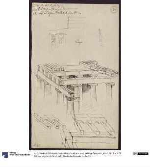
Grund- und Aufriss eines Tempels
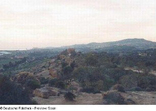
Blick zum antiken Tempel
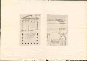
Gebälkkonstruktion eines antiken Tempels

Antiken-Tempel ; Freundschafts-Tempel ; Japanisches Haus

Italien. Säulen eines antiken Tempels
Die antiken Tempel von Paestum
architektonische Zeichung eines antiken Tempels
Aufrissskizze zum geplanten Bau eines Tempels für den Pfordter Berg
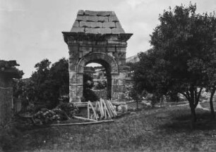
Tempel : Blick auf einen kleinen antiken Tempel
Stadtpläne von Athen und Jerusalem, jeweils mit modernem und antikem Grundriss
Bauteil A, Ansichten; Ansicht Garagen; Ansicht von Süden; Ansicht von Osten; Ansicht von Norden; Ansicht von Westen
Ansichten von Öfen nach antikem Stil
Grund- und Aufriss eines Tempels
Blick zum antiken Tempel
Gebälkkonstruktion eines antiken Tempels
Antiken-Tempel ; Freundschafts-Tempel ; Japanisches Haus
Italien. Säulen eines antiken Tempels
Die antiken Tempel von Paestum
architektonische Zeichung eines antiken Tempels
Aufrissskizze zum geplanten Bau eines Tempels für den Pfordter Berg
Tempel : Blick auf einen kleinen antiken Tempel
Stadtpläne von Athen und Jerusalem, jeweils mit modernem und antikem Grundriss