zweidimensionales bewegtes Bild
Flood Vulnerability Index for coastal communities linked to mangrove forests based on the COASTMAP URABÁ project
- Standort
-
Hannover TIB
- Umfang
-
86MB, 00:19:35:19 (unknown)
- Sprache
-
Englisch
- Anmerkungen
-
Audiovisuelles Material
- Erschienen in
-
FOSS4G Bucharest 2019 ; (Jan. 2019)
- Schlagwort
-
General
- Ereignis
-
Veröffentlichung
- (wer)
-
FOSS4G, Open Source Geospatial Foundation (OSGeo)
- (wann)
-
2019-01-01
- Beteiligte Personen und Organisationen
-
Valencia, María Fernanda Peña
Arruda, Natália da Silva
Libreros, Juan Felipe Blanco
Niño, Nixon Aristizábal
C3VOC
- DOI
-
10.5446/43570
- Letzte Aktualisierung
- 04.12.2024, 08:09 MEZ
Datenpartner
Dieses Objekt wird bereitgestellt von:
Technische Informationsbibliothek (TIB). Bei Fragen zum Objekt wenden Sie sich bitte an den Datenpartner.
Technische Informationsbibliothek (TIB). Bei Fragen zum Objekt wenden Sie sich bitte an den Datenpartner.
Objekttyp
- zweidimensionales bewegtes Bild
Beteiligte
- Valencia, María Fernanda Peña
- Arruda, Natália da Silva
- Libreros, Juan Felipe Blanco
- Niño, Nixon Aristizábal
- C3VOC
- FOSS4G, Open Source Geospatial Foundation (OSGeo)
Entstanden
- 2019-01-01
Ähnliche Objekte (12)
The European Flood Awareness System (EFAS)
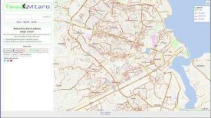
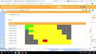
Development of a flood risk monitoring system to support flood risk reduction through community-driven drainage cleaning and drain adoption(Twaa Mtaro) in Dar es salaam city.
Next in mobile syncing
Several ways to help testing oC, an introduction for the community

Sync engine unit testing for the desktop client
Mobile automated test
Community: Social Life & Life in the early 21st century

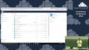
Getting OwnCloud Insights: Logging (And debugging) all platforms
Keynote - Integrating ownCloud and Collabora
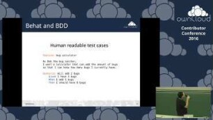
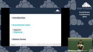
Avoiding a swarm of bugs using behat automated tests
My first year @owncloud

The future of ownCloud a short insight
The European Flood Awareness System (EFAS)
Development of a flood risk monitoring system to support flood risk reduction through community-driven drainage cleaning and drain adoption(Twaa Mtaro) in Dar es salaam city.
Next in mobile syncing
Several ways to help testing oC, an introduction for the community
Sync engine unit testing for the desktop client
Mobile automated test
Community: Social Life & Life in the early 21st century
Getting OwnCloud Insights: Logging (And debugging) all platforms
Keynote - Integrating ownCloud and Collabora
Avoiding a swarm of bugs using behat automated tests
My first year @owncloud