- Reference number
-
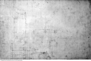
D 73, 4/7874
- Dimensions
-
Höhe: 34, Breite: 45, Maßstab: ca. 1:102
- Context
-
Allgemeine Kartensammlung (bisherige Kartei) >> 22. Tit. 4 (noch nicht klassifiziert) >> 22.24. Nr. 7801 - 8000
- Holding
-
D 73 Allgemeine Kartensammlung (bisherige Kartei)
- Date of creation
-
(ca. 18. Jh.)
- Other object pages
- Provenance
-
Behörden, Institutionen, Einzelpersonen (Sammlungen)
- Delivered via
- Last update
- 05.11.2025, 3:51 PM CET
Data provider
This object is provided by:
Landesarchiv Nordrhein-Westfalen. Abteilung Ostwestfalen-Lippe. If you have any questions about the object, please contact the data provider.
Landesarchiv Nordrhein-Westfalen. Abteilung Ostwestfalen-Lippe. If you have any questions about the object, please contact the data provider.
Object type
- Karten / Pläne
Time of origin
- (ca. 18. Jh.)
Other Objects (12)
Fassadenaufriss und Grundriss einer barocken Kirche

Die barocken Residenzen
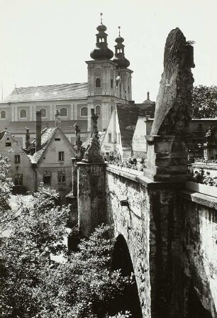
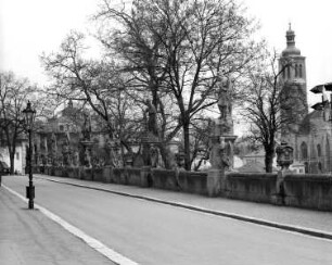
Steinbrücke mit barocken Statuen
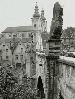
Steinbrücke mit barocken Statuen
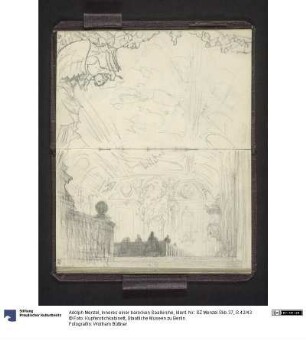
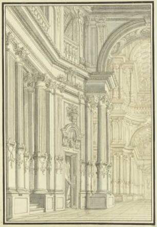
Inneres einer barocken Saalkirche
Galerie mit barocken Statuen
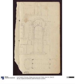
Skizze eines barocken Portals

Rekonstruktion einer barocken Domorgel
Innenraum einer barocken Kirche
Die schönsten barocken Klavierstücke
Studien zur barocken Gartenskulptur
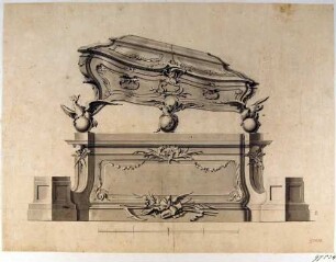
Seitenansicht eines barocken Sarggehäuses
Fassadenaufriss und Grundriss einer barocken Kirche
Die barocken Residenzen
Steinbrücke mit barocken Statuen
Steinbrücke mit barocken Statuen
Inneres einer barocken Saalkirche
Galerie mit barocken Statuen
Skizze eines barocken Portals
Rekonstruktion einer barocken Domorgel
Innenraum einer barocken Kirche
Die schönsten barocken Klavierstücke
Studien zur barocken Gartenskulptur