
- Extent
-
1 Kt, 20 x 24 cm, [Ca. 1:5.500.000]
- Language
-
Französisch
- Notes
-
Maßstab in graph. Form (Milles d'Italie, Milles d'Allemagne). - Nullmeridian: Ferro, Paris
Titel oben Mitte
Oben links: Liv. I., oben rechts: No. 6
- Bibliographic citation
-
Bonne, Rigobert. - Atlas De Toutes Les Parties Connues Du Globe Terrestre : Dressé Pour L'Histoire Philosophique Et Politique Des Etablissemens Et Du Commerce Des Européens Dans Les Deux Indes
- Series
-
Altkarten-Projekt des IAI
- Contributor
- Published
-
1780
- PURL
- Last update
- 09.05.2025, 3:03 PM CEST
Data provider
This object is provided by:
Ibero-Amerikanisches Institut - Stiftung Preußischer Kulturbesitz. If you have any questions about the object, please contact the data provider.
Ibero-Amerikanisches Institut - Stiftung Preußischer Kulturbesitz. If you have any questions about the object, please contact the data provider.
Object type
- Beigefügtes oder enthaltenes Werk
Associated
Time of origin
- 1780
Other Objects (12)
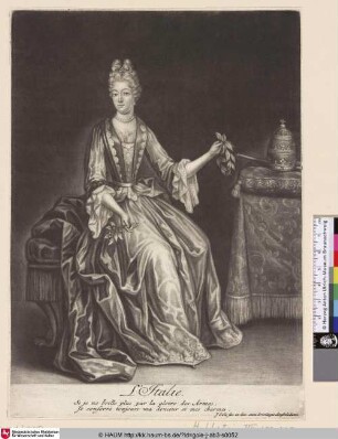
L'Italie

L'Italie
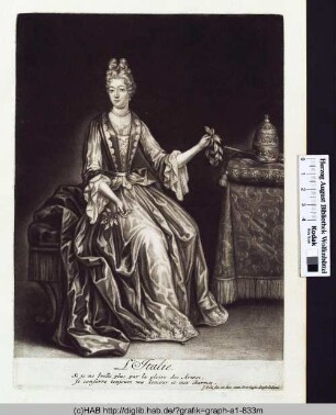
L'Italie.
L'Italie

Sur L'Italie.
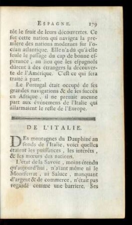
De L'Italie.
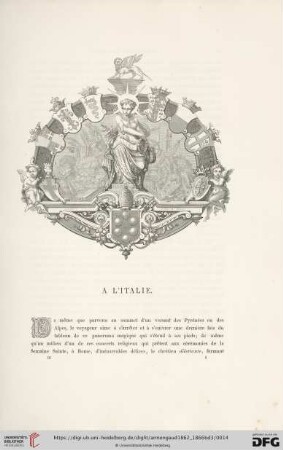
Á l'Italie

Corinne, ou l'Italie
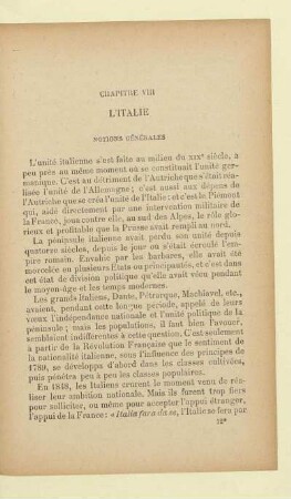
XVIII. L'Italie. - Ratbert
![[Chapitre XVIII.] L'Italie.](https://iiif.deutsche-digitale-bibliothek.de/image/2/76bee984-cc7c-40f8-a35c-bef780f8e838/full/!306,450/0/default.jpg)
[Chapitre XVIII.] L'Italie.

Lettres Sur L'Italie

Isles de l´Italie
L'Italie
L'Italie
L'Italie.
L'Italie
Sur L'Italie.
De L'Italie.
Á l'Italie
Corinne, ou l'Italie
XVIII. L'Italie. - Ratbert
[Chapitre XVIII.] L'Italie.
Lettres Sur L'Italie
Isles de l´Italie
L'Italie
L'Italie
L'Italie.
L'Italie
Sur L'Italie.
De L'Italie.
Á l'Italie
Corinne, ou l'Italie
XVIII. L'Italie. - Ratbert
[Chapitre XVIII.] L'Italie.
Lettres Sur L'Italie