Bewegte Bilder
pygeofilter: geospatial filtering made easy
pygeofilter (github.com/geopython/pygeofilter/) is a library to support the integration of geospatial filters. It is split into frontend language parsers (CQL 1 + 2 text/JSON, JFE, FES) , a common Abstract Syntax Tree (AST) representation and several backends (database systems) where the parsed filters can be integrated into queries. ## Parsers Currently pygeofilter supports CQL 1, CQL 2 in both text and JSON encoding, OGC filter encoding specification (FES) and JSON filter expressions (JFE) as input languages. Additionally pygeofilter provides utilities to help create parsers for new filter languages. The filters are parsed to an AST representation, which is a common denominator across all filter capabilities including logical and arithmetic operators, geospatial comparisons, temporal filters and property lookups. An AST can also be easily created via the API, if necessary. ## Backends pygeofilter provides several backends and helpers to roll your own. Built-in backends are for Django, SQLAlchemy, raw SQL, (Geo)Pandas dataframes, and native Python lists of dicts or objects. ## Usage pygeofilter is used in several applications, such as PyCSW (pycsw.org/), EOxServer (github.com/EOxServer/eoxserver/) and ogc-api-fast-features (github.com/microsoft/ogc-api-fast-features/)
- Standort
-
Hannover TIB
- Umfang
-
30MB, 00:17:04:00 (unknown)
- Sprache
-
Englisch
- Anmerkungen
-
Audiovisuelles Material
- Erschienen in
-
FOSS4G Firenze 2022 ; (Jan. 2024)
- Schlagwort
-
generaltrack
Stateofsoftware
foss4g2022
- Ereignis
-
Veröffentlichung
- (wer)
-
FOSS4G, Open Source Geospatial Foundation (OSGeo)
- (wann)
-
2024-01-01
- Beteiligte Personen und Organisationen
-
Schindler-Strauss, Fabian
- DOI
-
10.5446/69128
- Letzte Aktualisierung
- 21.04.2026, 10:49 MESZ
Datenpartner
Dieses Objekt wird bereitgestellt von:
Technische Informationsbibliothek (TIB).
Bei Fragen zum Objekt wenden Sie sich bitte an den Datenpartner.
Objekttyp
- zweidimensionales bewegtes Bild
Beteiligte
- Schindler-Strauss, Fabian
- FOSS4G, Open Source Geospatial Foundation (OSGeo)
Entstanden
- 2024-01-01
Ähnliche Objekte (12)
Scribe: MapServer Mapfile Development Made Easy

Scribe: MapServer Mapfile Development Made Easy

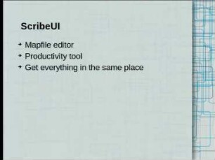
ScribeUI: MapServer Mapfile management made easy
ScribeUI: MapServer Mapfile management made easy

Visualizing geographical data made extremely easy by SLD Editor!
Visualizing geographical data made extremely easy by SLD Editor!

Serverless Geospatial
Cartaro - The Geospatial CMS

Cartaro - The Geospatial CMS

Keynote III - Geospatial Analytics in Risk Management: Geospatial Analytics in Risk Management
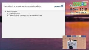
Keynote III - Geospatial Analytics in Risk Management: Geospatial Analytics in Risk Management
Thinking Strategically about (open) geospatial
Scribe: MapServer Mapfile Development Made Easy
Scribe: MapServer Mapfile Development Made Easy
ScribeUI: MapServer Mapfile management made easy
ScribeUI: MapServer Mapfile management made easy
Visualizing geographical data made extremely easy by SLD Editor!
Visualizing geographical data made extremely easy by SLD Editor!
Serverless Geospatial
Cartaro - The Geospatial CMS
Cartaro - The Geospatial CMS
Keynote III - Geospatial Analytics in Risk Management: Geospatial Analytics in Risk Management
Keynote III - Geospatial Analytics in Risk Management: Geospatial Analytics in Risk Management